A judge has signed off on changes to the legal team representing Harvey Weinstein in his rape and sexual assault case.
Weinstein appeared briefly in a New York City courthouse Friday to get Judge James Burke to approve the changes.
The fallen film mogul is replacing defense attorney Benjamin Brafman with four new lawyers.

Attorney Benjamin Brafman arrives at New York Supreme Court, Friday, Jan. 25, 2019, in New York. Harvey Weinstein is scheduled to appear before a New York judge for a hearing transferring his case to a new legal team.(AP PhotoJulio Cortez)
They include Jose Baez, who won an acquittal for Florida mom Casey Anthony on charges she killed her young daughter.
Other members of the legal team are Ronald Sullivan, Pamela Robillard Mackey and ex-Manhattan prosecutor Duncan Levin.
Weinstein didn't comment as he entered the courthouse with his new lawyers.

FILE- In this Dec. 20, 2018 file photo, Harvey Weinstein, left, arrives at New York Supreme Court with his attorney Benjamin Brafman in New York. Brafman filed court papers on Thursday, Jan. 17, 2019, asking to withdraw as Weinstein's lawyer. The high-profile criminal defense lawyer is leaving the movie producer's rape case weeks after failing to get the charges dismissed. (AP PhotoSeth Wenig, File)
Weinstein is charged with raping a woman in 2013 and performing a forcible sex act on another woman in 2006. He denies the allegations.
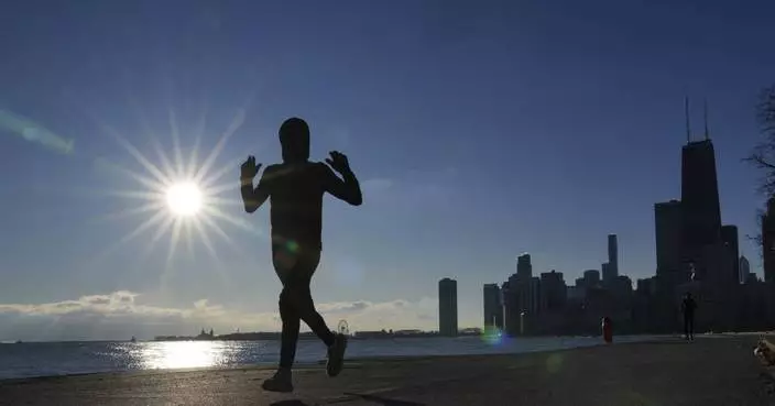
A major winter storm began Saturday in the central U.S. and was forecast to move east over the next several days, producing heavy snow, significant ice and frigid temperatures, according to the National Weather Service.
Here is what to know about the storm, which is expected to affect millions in the eastern two-thirds of the country:
A large system made landfall along the West Coast on Friday afternoon, bringing rain to the Pacific Northwest with snow expected in the Cascade Mountains, according to meteorologists.
The system will be responsible for the development of a major winter storm from the Central Plains to the Mid-Atlantic this weekend into early next week.
By Saturday evening, widespread heavy snow was likely in areas between central Kansas and Indiana, especially along and north of Interstate 70, where there was a high chance of at least 8 inches (20 centimeters).
For places in the region that typically experience the highest snow totals, it may be the heaviest snowfall in at least a decade, meteorologists said.
The storm will then move into the Ohio Valley, with severe travel disruptions expected, and reach the Mid-Atlantic states on Sunday into Monday.
Wind gusts higher than 35 mph (56 kph) and heavy rates of snowfall could lead to blizzard conditions, particularly in Kansas and nearby portions of the Central Plains by Sunday morning.
Whiteout conditions may make driving dangerous to impossible and heighten the risk of becoming stranded.
Icy roads were causing traffic problems Saturday in Kansas, and forecasters warned that sleet and freezing rain could extend into Missouri, Illinois, Indiana and much of Kentucky and West Virginia.
Power outages were likely in areas with more than a quarter-inch (a half centimeter) of ice accumulation.
“It’s going to be a mess, a potential disaster,” private meteorologist Ryan Maue said.
Starting Monday, people in the eastern two-thirds of the country will experience dangerous, bone-chilling air and wind chills, forecasters said.
Temperatures could be 12 to 25 degrees Fahrenheit (7 to 14 degrees Celsius) colder than normal as the polar vortex stretches down from the high Arctic.
“This could lead to the coldest January for the U.S. since 2011,” AccuWeather Director of Forecast Operations Dan DePodwin said Friday, noting that there could be up to a week or more of “temperatures that are well below historical average.”
The biggest drop below normal was likely to be centered over the Ohio Valley, but significant and unusual cold will extend south to the Gulf Coast, said Danny Barandiaran, a meteorologist at the National Weather Service’s Climate Prediction Center.
A hard freeze was even expected in Florida, he added.
“The wind chills are going to be brutal,” Woodwell Climate Research Institute climate scientist Jennifer Francis said. "Just because the globe is warming doesn’t mean these cold snaps are going away.”
The brutal weather may be spurred in part by a fast-warming Arctic, a reminder that climate change gooses weather extremes, said Judah Cohen, seasonal forecast director at the private firm Atmospheric and Environmental Research.
The polar vortex — ultra-cold air spinning like a top — usually stays above the North Pole, but sometimes it stretches down to the U.S., Europe or Asia.
Cohen and colleagues have published several studies showing an increase in the polar vortex stretching or wandering. Cohen and others published a study last month attributing the cold outbreaks partly to changes from an Arctic that is warming four times faster than the rest of the globe.

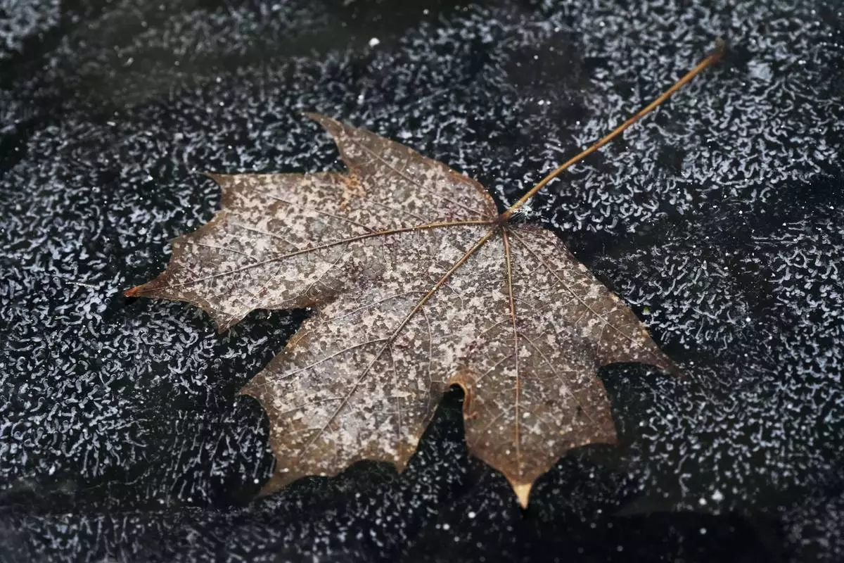
FILE - A leaf is frozen in the ice of a garden pond during cold weather in Buffalo Grove, Ill., Thursday, Dec. 12, 2024. (AP Photo/Nam Y. Huh, File)

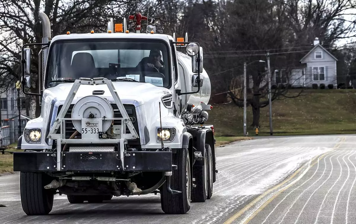
FILE - Steve Beckett with the street department in Owensboro, Ky., sprays a salt brine solution along Hickman Avenue in preparation for predicted snow and ice over the weekend, Friday, Jan. 3, 2025, in Owensboro, Ky. (Greg Eans/The Messenger-Inquirer via AP, File)

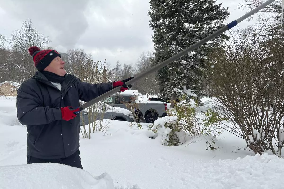
FILE - Resident Todd Brainard cleans snow off of the roof of his home in North Perry, Ohio on Tuesday, Dec. 3, 2024. (AP Photo/Patrick Aftoora-Orsagos, File)


