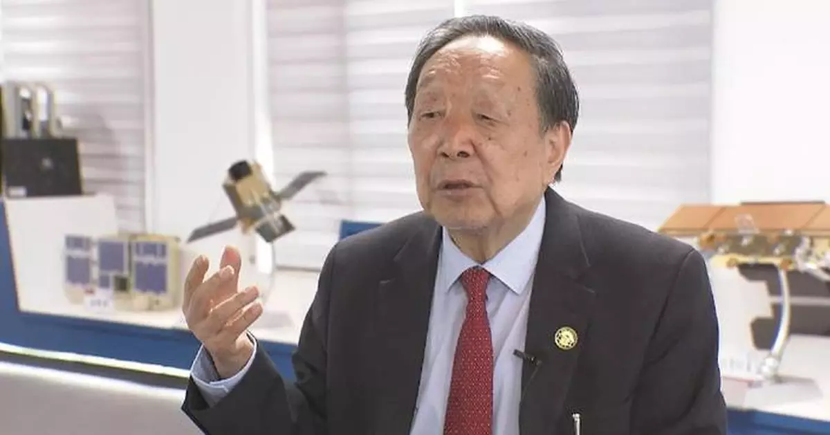
Li Deren, winner of China's top sci-tech award for year 2023, has dedicated his career over the past 50 years to advancing China's researches on basic theories and major innovations on photogrammetry and remote sensing for Earth observation.
Li, 85 years old, is an academician with the Chinese Academy of Sciences and the Chinese Academy of Engineering. He is celebrated for his expert knowledge of the core technologies for high-precision global positioning and mapping via satellite remote sensing.
He solved the high-precision processing problems of remote sensing satellite images, and has led his team to develop a fully automatic high-precision airborne and ground measurement system, making outstanding contributions to the building of China's high-precision and high-resolution Earth observation system.
In 1957, Li started studying at Wuhan Institute of Geodesy and Mapping -- China's first university on professional surveying and mapping located in Wuhan City of central China's Hubei Province.
"At that time, I was determined to help build our motherland into a powerful country. So quite naturally, I wanted to be part of a dynamic force driving the motherland' development," Li said.
During his years in university, Li read almost all the professional documents of surveying and mapping in the library, which laid a profound theoretical foundation for later researches.
In 1978, he started his academic studies for a master's degree under the guidance of China's aerial photogrammetry and remote sensing expert and academician Wang Zhizhuo.
In 1985, Li completed his theoretical research in the separability of surveying model errors, and received his Ph.D. degree in photogrammetry and remote sensing in Germany. His theory in doctoral thesis solved the century old problem of error distinguishability in world surveying.
In 2010, China launched the implementation of its major special project of high-resolution Earth observation system. Li participated in the general design of the special project and led his team in making breakthroughs in terms of high-precision data processing.
"Within 10 years, we improved China's optical remote sensing resolution to 0.5 meters. That helped meet the needs of the country in advancing national defense and economic development as well as those of the public, while supporting the accomplishment of U.N. Sustainable Development Goals," Li said.
Since Gaofen-1, the first satellite of the major special project, was launched in April 2013, a total of 14 Gaofen (High Definition) satellites have been successfully launched, covering optical, radar, infrared, hyperspectral and other tech types.
Presently, Li's team is planning to complete creation of an intelligent remote sensing constellation involving 252 satellites by 2030.
"This constellation will consist of 252 satellites in four types to form an Earth observation network, which will be connected with telecommunication satellites and navigation satellites to jointly serve farming, transport, mining, shipping, smart cities and smart villages. That meets President Xi's requirements on developing new quality productive forces," Li said.
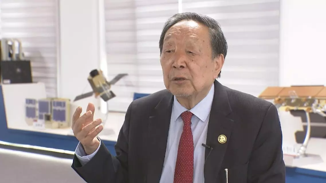
Photogrammetry and remote sensing expert wins China's top sci-tech award


