In a groundbreaking initiative, Chinese researchers have equipped migratory birds with mini cameras and satellite trackers to document their migration process, significantly enhancing conservation efforts.
This innovative technology, first deployed on a rescued grey crane in Inner Mongolia, allows scientists to observe real-time data on the birds' journeys, offering valuable insights into their behavior and habitat needs. At the end of 2022, a grey crane was injured during migration in Tumuji Nature Reserve in north China's Inner Mongolia Autonomous Region. It was luckily found and treated by a research team of the National Bird Banding Center. After the bird recovered, the researchers put a Beidou satellite tracker equipped with a micro camera on its body after evaluation.
This is the first time in China that such a high-tech device has been used to observe and track the migration trajectory of birds.
According to data and videos collected, the crane was living near Qiqihar, northeast China's Heilongjiang Province, at around the same time of last year, making final preparations for its "southward migration." It began its migration on Nov. 19, 2023 and arrived in Panjin, Liaoning Province on Nov. 25.
Thereafter, this technology has been used to monitor birds' migration as they arrive at key wintering grounds like Dongting Lake in Hunan Province.
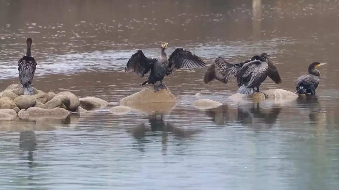
The Dongting Lake in central China's Hunan Province is an important wetland and protected area in China, and is also one of the important habitats for wintering migratory birds. As the weather turns cold, the Dongting Lake is currently welcoming the "vanguard" of the migratory birds, including the one being monitored.
"The entire migration was completed in one go, taking six days, with two short stops in between. The entire north-south span was more than 900 kilometers. The bird flew an average of around 450 kilometers per day, and its maximum flight speed was 69 kilometers per hour," said Chen Zhengrong, tech director of Hunan Global Messenger Technology Co., Ltd.
The satellite can collect very detailed information of the bird. Taking the data transmitted back at 13:00 on Nov 23, 2023 as an example, it was flying at an altitude of 660 meters, at a speed of 23 kilometers per hour.
"(We can see) the crane was flying in the snowy environment, and the camera also captured precious video data of other crane populations. The crane's wings are very powerful, and it can complete a migration of hundreds of kilometers. At this moment, the crane is in very good physical condition," Chen said.
Through modern technology, the researchers can intuitively see the migration routes of birds and analyze the related patterns. The data recorded and sent back by the Beidou satellite tracker includes not only location information such as longitude, latitude and altitude, but also activity information such as acceleration and activity volume, as well as environmental information such as temperature and voltage around the birds.
"The activity volume is like the pedometer we use, which reflects the frequency of animal activities. For example, the highest data recorded today was 2,200, and the lowest was only 34. The low number was collected when it was resting at night, and the high number means it is moving, eating, or playing. The activity volume has ups and downs, which means the animal lives well and normally in the wild, so we are more assured about this species," said Huang Tian, an associate professor at Hunan City University.
Temperature is another important data for researchers to assess whether migratory birds are normal. As the tracker is worn close to the body, the temperature data is usually close to body temperature. Researchers can combine activity and location data to assess whether the migratory bird is dead if the temperature goes abnormnal.
As of Thursday, more than 12,000 migratory birds had arrived at the Huanggai Lake in the Dongting Lake system, including those under the national second-level protection such as white spoonbills and grey cranes.
China launches mini camera-equipped trackers to monitor migratory birds' journey