JERUSALEM--(BUSINESS WIRE)--Dec 17, 2024--
At CES 2025, Mobileye (Nasdaq: MBLY) will showcase the technologies and solutions driving its scalable approach to safer roads and autonomous mobility. Kicking off the show with its annual press conference, “Mobileye: Now. Next. Beyond.” presented by President and CEO Prof. Amnon Shashua, Mobileye will highlight innovation across a range of platforms and applications, from advanced driver assistance to fully autonomous solutions.
This press release features multimedia. View the full release here: https://www.businesswire.com/news/home/20241217366044/en/
Mobileye: Now. Next. Beyond. will be held on Tuesday, January 7, 2025, at 11:00 a.m. PT in LVCC West Hall W326 and livestreamed. Prof. Shashua will share insights into Mobileye’s progress toward delivering safe and scalable autonomous driving solutions and outline the company’s vision for 2025 and beyond. Register here for in-person or virtual attendance.
Throughout CES, attendees are invited to visit the Mobileye booth at LVCC West Hall, Level 1, Booth 4700, where a series of demonstrations and talks will highlight Mobileye’s latest advancements in AI, sensor fusion, imaging radar and other core technologies purpose-built for safer roads. These innovations underpin Mobileye’s modular product portfolio, which will be on display and includes:
Attendees will have the opportunity to view vehicles equipped with Mobileye Drive™ at the Mobileye booth.
Additionally, Mobileye will participate in the following CES events:
For more information on Mobileye at CES 2025, including booth activities, events and news, visit https://www.mobileye.com/ces-2025/.
Mobileye (Nasdaq: MBLY) leads the mobility revolution with its autonomous driving and driver-assistance technologies, harnessing world-renowned expertise in computer vision, artificial intelligence, mapping, and data analysis. Since its founding in 1999, Mobileye has pioneered such groundbreaking technologies as REM™ crowdsourced mapping, True Redundancy™ sensing, and Responsibility Sensitive Safety (RSS). These technologies are driving the ADAS and AV fields towards the future of mobility – enabling self-driving vehicles and mobility solutions, powering industry-leading advanced driver-assistance systems and delivering valuable intelligence to optimize mobility infrastructure. To date, about 190 million vehicles worldwide have been built with Mobileye technology inside. In 2022 Mobileye listed as an independent company separate from Intel (Nasdaq: INTC), which retains majority ownership. For more information, visit https://www.mobileye.com.
“Mobileye,” the Mobileye logo and Mobileye product names are registered trademarks of Mobileye Global. All other marks are the property of their respective owners.


Prof. Amnon Shashua delivers his annual CES address, Mobileye: Now. Next. Beyond. (Photo: Mobileye)
A blast of snow, ice, wind and plunging temperatures stirred up dangerous travel conditions in parts of the central U.S. on Sunday, as a disruptive winter storm brought the possibility of the “heaviest snowfall in a decade” to some areas.
Snow and ice blanketed major roadways in nearly all of Kansas, western Nebraska and parts of Indiana, where the state's National Guard was activated to help any motorists who were stuck. At least 8 inches of snow were expected, particularly north of Interstate 70, as the National Weather Service issued winter storm warnings for Kansas and Missouri, where blizzard conditions were reported. The warning extended to New Jersey for Monday and into early Tuesday.
“For locations in this region that receive the highest snow totals, it may be the heaviest snowfall in at least a decade,” the weather service said early Sunday.
About 63 million people in the U.S. were under some kind of winter weather advisory, watch or warning on Sunday, according to Bob Oravec with the National Weather Service.
The polar vortex of ultra-cold air usually spins around the North Pole. People in the U.S., Europe and Asia experience its intense cold when the vortex escapes and stretches south.
Studies show a fast-warming Arctic is partly to blame for the increasing frequency of the polar vortex extending its icy grip.
In Indiana, snow fully covered portions of Interstate 64, Interstate 69 and U.S. Route 41, prompting Indiana State Police to plead with motorists to stay off the roads as plows worked to keep up with the pace of the precipitation.
“It’s snowing so hard, the snow plows go through and then within a half hour the roadways are completely covered again,” Sgt. Todd Ringle said.
Part of I-70 was closed in central Kansas by Saturday afternoon. Roughly 10 inches (25 centimeters) of snow had fallen in parts of the state, with snow and sleet totals predicted to top 14 inches for parts of Kansas and northern Missouri.
Parts of upstate New York saw 3 feet (0.9 meters) or more of snow from a lake effect event expected to last until late Sunday afternoon.
The storm was then forecast to move into the Ohio Valley and reach the Mid-Atlantic states on Sunday and Monday, with a hard freeze expected as far south as Florida.
The National Weather Service warned that travel in numerous states, including Kansas and Missouri, could be “very difficult to impossible.”
Indiana State Police reported a handful of spinouts and crashes Sunday.
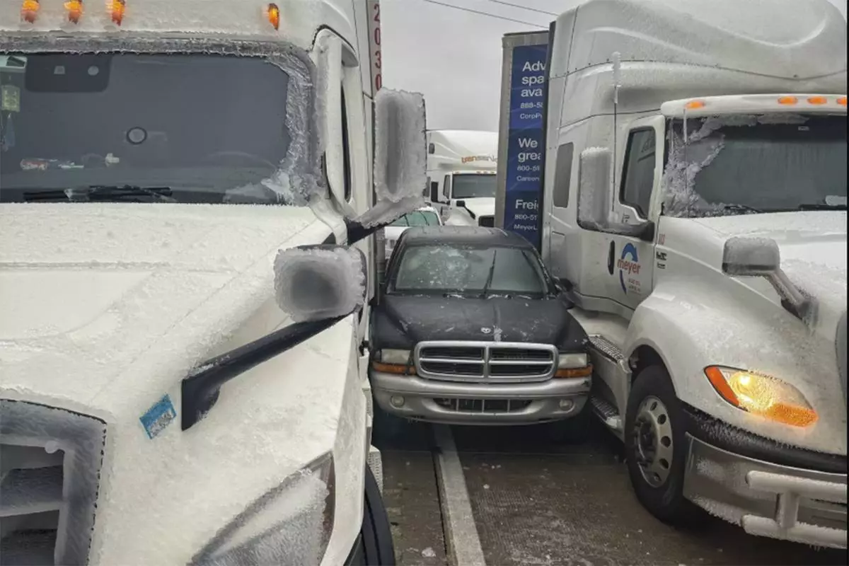
A day earlier a fire truck, several tractor-trailers and passenger vehicles overturned west of Salina. Rigs also jackknifed and went into ditches, state Highway Patrol Trooper Ben Gardner said. He posted a video showing his boots sliding across the highway blacktop like he was on ice skates. He begged people to stay off the roads.
Governors in neighboring Missouri and nearby Arkansas declared states of emergency.
The storms also caused havoc for the nation’s railways, leading to cancelations. Amtrak said in a statement that “adjustments have been made with no alternative transportation being offered” for many rail lines.
More than 20 cancelations were predicted on Sunday and more than 40 were planned for Monday.
The cancelations affected many parts of the country, but the Midwest was hit especially hard. A train between Chicago and New York and several regional trains between Chicago and St. Louis were among those canceled Sunday.
Nearly 200 flights in and out of St. Louis Lambert International Airport were canceled, according to tracking platform FlightAware.
Starting Monday, the eastern two-thirds of the country will experience dangerous, bone-chilling cold and wind chills, forecasters said. Temperatures could be 12 to 25 degrees (7 to 14 degrees Celsius) below normal.
In Chicago on Sunday, temperatures hovered in the teens (minus 7 to 10 Celsius) and around zero in Minneapolis, while dropping to 11 below in International Falls, Minnesota, on the Canadian border.
The Northeastern states are more likely to experience several days of cold following what has mostly been a mild start to winter, said Jon Palmer, a meteorologist with the National Weather Service in Gray, Maine. A plume of cold air coming down from Canada is likely to result in a cold but dry week, he said.
The cold air will likely grip the eastern half of the country as far south as Georgia, Palmer said, with parts of the East Coast experiencing freezing temperatures and lows dipping into the single digits in some areas.
Wind might also pick up as the week gets going, making for potentially dangerous conditions for people exposed to the elements for long periods of time, Palmer said.
The National Weather Service predicted 8 to 12 inches (about 20 to 30 centimeters) of snow for the Annapolis, Maryland, area, with temperatures remaining below freezing throughout the weekend.
In a statement on X, Virginia Gov. Glenn Youngkin declared a state of emergency Friday evening ahead of the storm and encouraged residents to vote before the state's special elections on Tuesday.
Similar declarations were issued in Kansas, Kentucky, Maryland and in central Illinois cities.
“This is the real deal,” meteorologist John Gordon said at a press conference in Louisville, Kentucky. “Are the weather people blowing this out of proportion? No.”
Read more of AP’s climate coverage at http://www.apnews.com/climate-and-environment
Associated Press journalists Julie Walker in New York, Sophia Tareen in Chicago and Summer Ballentine in Columbia, Missouri, contributed. Witte reported from Annapolis, Maryland. Whittle reported from Portland, Maine.

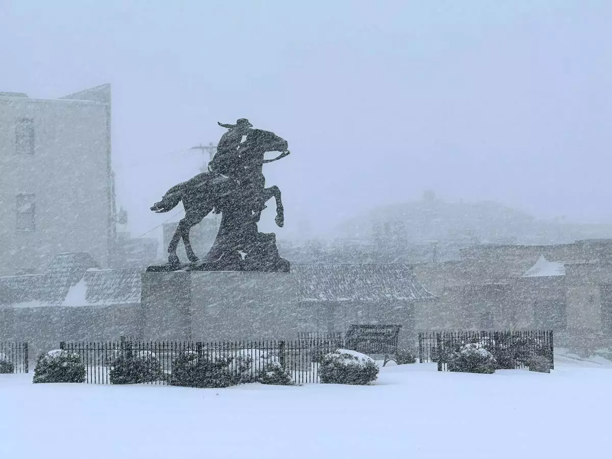
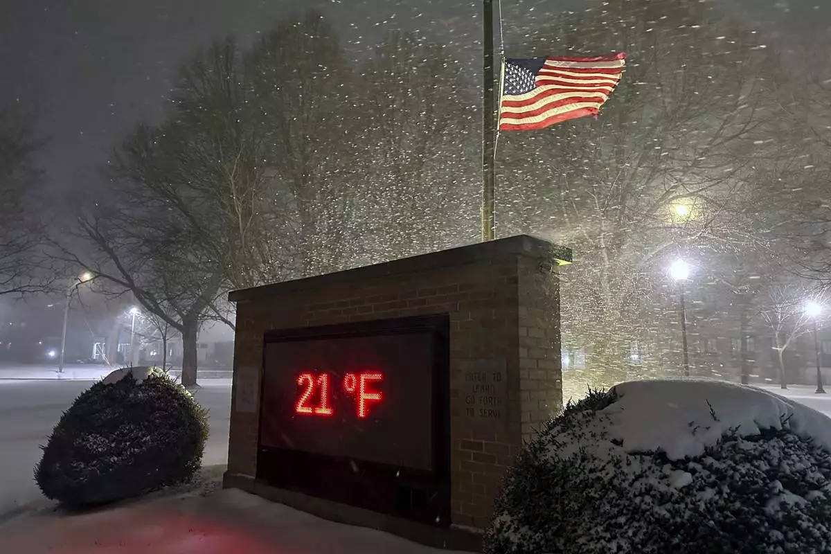
Snow falls in St. Joseph, Mo., Sunday, Jan. 5, 2025. (AP Photo/Nick Ingram)

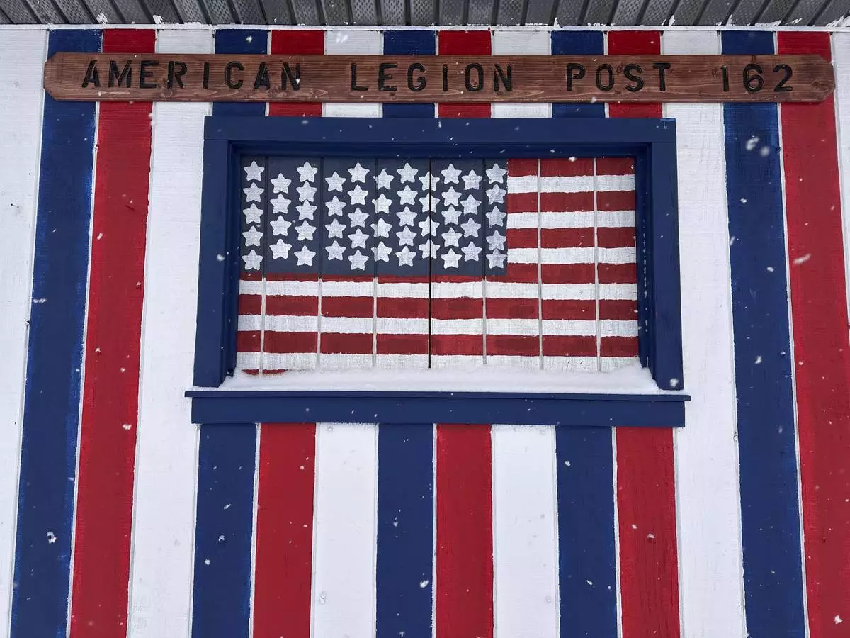
More snow falls near the American Legion Post in Lowville, N.Y., Sunday, Jan. 5, 2025. (AP Photo/Cara Anna)

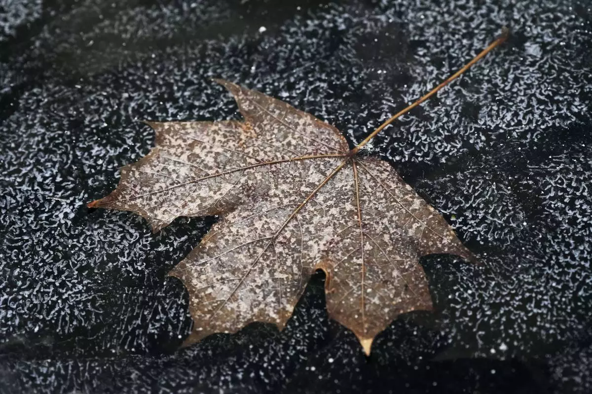
FILE - A leaf is frozen in the ice of a garden pond during cold weather in Buffalo Grove, Ill., Thursday, Dec. 12, 2024. (AP Photo/Nam Y. Huh, File)

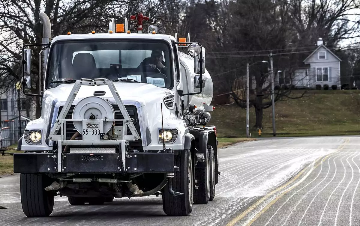
FILE - Steve Beckett with the street department in Owensboro, Ky., sprays a salt brine solution along Hickman Avenue in preparation for predicted snow and ice over the weekend, Friday, Jan. 3, 2025, in Owensboro, Ky. (Greg Eans/The Messenger-Inquirer via AP, File)

More winter weather blows into Lowville, New York on Saturday, January 4, 2025. (AP Photo/Cara Anna)

In a photo released by the Kansas Highway Patrol, a car is wedged between two trucks during icy weather Saturday, Jan. 4, 2024, in Salina, Kansas. (Kansas Highway Patrol via AP)

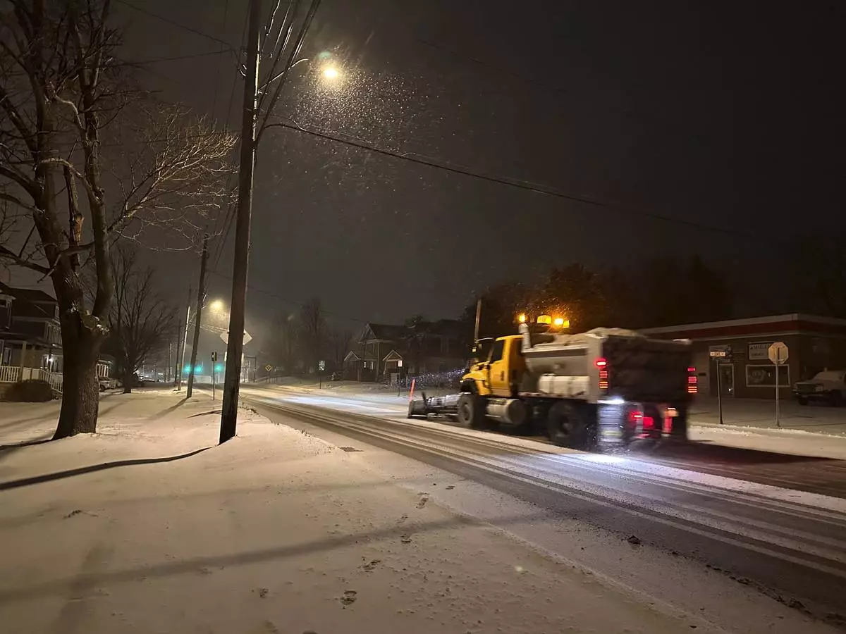
A snowplow passes through Lowville, New York, on Saturday, Jan. 4, 2025. (AP Photo/Cara Anna)
