NEW YORK (AP) — Left-hander Max Fried and the New York Yankees finalized a $218 million, eight-year contract on Tuesday.
The deal was agreed to last week at the winter meetings after the Yankees lost outfielder Juan Soto to the rival Mets.
Fried’s deal is the largest for a left-handed pitcher in baseball history, $1 million more than David Price’s seven-year contract with the Boston Red Sox ahead of the 2016 season.
“He’s one of the game’s really, really good pitchers and has a really good track record now of success,” Yankees manager Aaron Boone said last week. “He’s a special talent.”
Fried gets a $20 million signing bonus, half payable on Jan. 31, 2025, and the rest on Jan. 31, 2026. He gets salaries of $12 million in each of the first two seasons and $29 million in each of the remaining six.
Yankees fans were angry after Soto accepted the Mets’ $765 million, 15-year offer over the Yankees’ $760 million, 16-year proposal. The Yankees then redirected money to starting pitching, though Fried represents some risk: The two-time All-Star has been on the injured list 10 times since 2018, including at least once each season.
A high school teammate of Jack Flaherty and Lucas Giolito at Harvard-Westlake in Los Angeles, Fried gets the fourth-highest contract among pitchers behind the Los Angeles Dodgers’ Yoshinobu Yamamoto ($325 million for 12 years through 2035), the Yankees’ Gerrit Cole ($324 million for nine years through 2028) and Washington’s Stephen Strasburg ($245 million for seven years through 2026). Strasburg hasn’t pitched since 2022 and has retired.
Yankees staff met with Fried on a Zoom session during the negotiations.
“Obviously watching him from afar over the last several years you know this is a guy you can tell really competes well on the mound and that came across in our meeting with him,” Boone said.
After spending his first eight seasons with the Atlanta Braves, Fried joins a list of rotation possibilities that also includes Cole, Carlos Rodón, Luis Gil, Clarke Schmidt and Marcus Stroman.
Fried was 54-25 with a 2.81 ERA with five complete games and four shutouts in 112 starts over the past five seasons. He was among only three pitchers to throw two complete games this year, when there were just 16 in the major leagues.
A three-time Gold Glove winner who turns 31 on Jan. 18, Fried has one of the broadest repertoires in the major leagues, throwing seven different pitches. He averaged 93.9 mph this year with his fastball, which he threw 33.6% of the time. Fried mixed in 21% curveballs, 15.6% sinkers, 13.6% changeups, 5.9% sweepers, 5.6% sliders and 4.7% cutters.
He was 11-10 with a 3.25 ERA over 29 starts this year, striking out 166 and walking a career-high 57 in 174 1/3 innings. Fried missed time for left forearm neuritis, his seventh straight season on the IL.
He had prior IL stints for a blister on the middle finger of his pitching hand and strained left groin (2018), blister on left index finger (2019), muscle spasm on left side of back (2020), strained right hamstring (2021), concussion (2022) and strained left hamstring, strained left forearm and blister on left index finger (2023).
“There’s inherent risks,” Boone said, “but we feel like he’s a really good pitcher and the way he goes about it, prepares, trains, we feel like he’s doing everything he can to be a guy that’s able to consistently go to the post.”
Fried was the seventh overall pick in the 2012 amateur draft by the San Diego Padres. He had Tommy John surgery in August 2014 and was traded to the Atlanta Braves in December 2014 as part of a six-player deal that sent outfielder Justin Upton to the Padres.
He made his major league debut in August 2017 and was optioned to the minors five times in 2018.
Fried was 17-6 with a 4.02 ERA in 2019 and 7-0 with a 2.25 ERA in the pandemic-shortened 2020 season, finishing fifth in the National League Cy Young Award voting.
He went 14-7 with a 3.04 ERA in 2021, when he pitched six scoreless innings to beat Houston in the World Series Game 6 clincher and was 14-7 with a 2.48 ERA in 2022, when he made his first All-Star team. Fried was 8-1 with a 2.55 ERA over 14 starts in 2023.
AP MLB: https://apnews.com/mlb

FILE - Atlanta Braves starting pitcher Max Fried aims a pitch during the third inning of a baseball game against the Miami Marlins, Saturday, Sept. 21, 2024, in Miami. (AP Photo/Marta Lavandier, File)
A blast of snow, ice, wind and plunging temperatures stirred up dangerous travel conditions in parts of the central U.S. on Sunday, as a disruptive winter storm brought the possibility of the “heaviest snowfall in a decade” to some areas.
Snow and ice blanketed major roadways in nearly all of Kansas, western Nebraska and parts of Indiana, where the state's National Guard was activated to help any motorists who were stuck. At least 8 inches of snow were expected, particularly north of Interstate 70, as the National Weather Service issued winter storm warnings for Kansas and Missouri, where blizzard conditions were reported. The warning extended to New Jersey for Monday and into early Tuesday.
“For locations in this region that receive the highest snow totals, it may be the heaviest snowfall in at least a decade,” the weather service said early Sunday.
About 63 million people in the U.S. were under some kind of winter weather advisory, watch or warning on Sunday, according to Bob Oravec with the National Weather Service.
The polar vortex of ultra-cold air usually spins around the North Pole. People in the U.S., Europe and Asia experience its intense cold when the vortex escapes and stretches south.
Studies show a fast-warming Arctic is partly to blame for the increasing frequency of the polar vortex extending its icy grip.
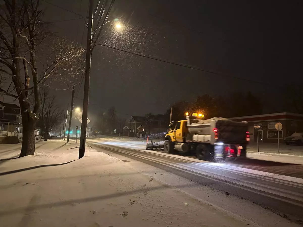
In Indiana, snow fully covered portions of Interstate 64, Interstate 69 and U.S. Route 41, prompting Indiana State Police to plead with motorists to stay off the roads as plows worked to keep up with the pace of the precipitation.
“It’s snowing so hard, the snow plows go through and then within a half hour the roadways are completely covered again,” Sgt. Todd Ringle said.
Part of I-70 was closed in central Kansas by Saturday afternoon. Roughly 10 inches (25 centimeters) of snow had fallen in parts of the state, with snow and sleet totals predicted to top 14 inches for parts of Kansas and northern Missouri.
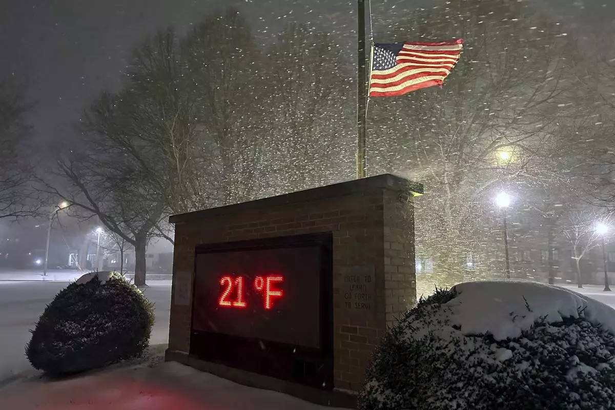
Parts of upstate New York saw 3 feet (0.9 meters) or more of snow from a lake effect event expected to last until late Sunday afternoon.
The storm was then forecast to move into the Ohio Valley and reach the Mid-Atlantic states on Sunday and Monday, with a hard freeze expected as far south as Florida.
The National Weather Service warned that travel in numerous states, including Kansas and Missouri, could be “very difficult to impossible.”
Indiana State Police reported a handful of spinouts and crashes Sunday.
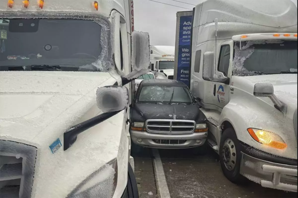
A day earlier a fire truck, several tractor-trailers and passenger vehicles overturned west of Salina. Rigs also jackknifed and went into ditches, state Highway Patrol Trooper Ben Gardner said. He posted a video showing his boots sliding across the highway blacktop like he was on ice skates. He begged people to stay off the roads.
Governors in neighboring Missouri and nearby Arkansas declared states of emergency.
The storms also caused havoc for the nation’s railways, leading to cancelations. Amtrak said in a statement that “adjustments have been made with no alternative transportation being offered” for many rail lines.
More than 20 cancelations were predicted on Sunday and more than 40 were planned for Monday.
The cancelations affected many parts of the country, but the Midwest was hit especially hard. A train between Chicago and New York and several regional trains between Chicago and St. Louis were among those canceled Sunday.
Nearly 200 flights in and out of St. Louis Lambert International Airport were canceled, according to tracking platform FlightAware.
Starting Monday, the eastern two-thirds of the country will experience dangerous, bone-chilling cold and wind chills, forecasters said. Temperatures could be 12 to 25 degrees (7 to 14 degrees Celsius) below normal.
In Chicago on Sunday, temperatures hovered in the teens (minus 7 to 10 Celsius) and around zero in Minneapolis, while dropping to 11 below in International Falls, Minnesota, on the Canadian border.
The Northeastern states are more likely to experience several days of cold following what has mostly been a mild start to winter, said Jon Palmer, a meteorologist with the National Weather Service in Gray, Maine. A plume of cold air coming down from Canada is likely to result in a cold but dry week, he said.
The cold air will likely grip the eastern half of the country as far south as Georgia, Palmer said, with parts of the East Coast experiencing freezing temperatures and lows dipping into the single digits in some areas.
Wind might also pick up as the week gets going, making for potentially dangerous conditions for people exposed to the elements for long periods of time, Palmer said.
The National Weather Service predicted 8 to 12 inches (about 20 to 30 centimeters) of snow for the Annapolis, Maryland, area, with temperatures remaining below freezing throughout the weekend.
In a statement on X, Virginia Gov. Glenn Youngkin declared a state of emergency Friday evening ahead of the storm and encouraged residents to vote before the state's special elections on Tuesday.
Similar declarations were issued in Kansas, Kentucky, Maryland and in central Illinois cities.
“This is the real deal,” meteorologist John Gordon said at a press conference in Louisville, Kentucky. “Are the weather people blowing this out of proportion? No.”
Read more of AP’s climate coverage at http://www.apnews.com/climate-and-environment
Associated Press journalists Julie Walker in New York, Sophia Tareen in Chicago and Summer Ballentine in Columbia, Missouri, contributed. Witte reported from Annapolis, Maryland. Whittle reported from Portland, Maine.

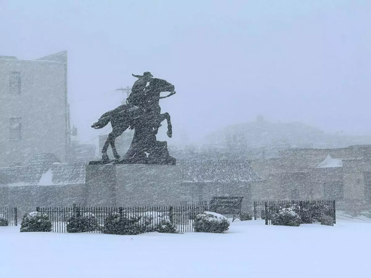
Snow falls in St. Joseph, Mo., Sunday, Jan. 5, 2025. (AP Photo/Nick Ingram)

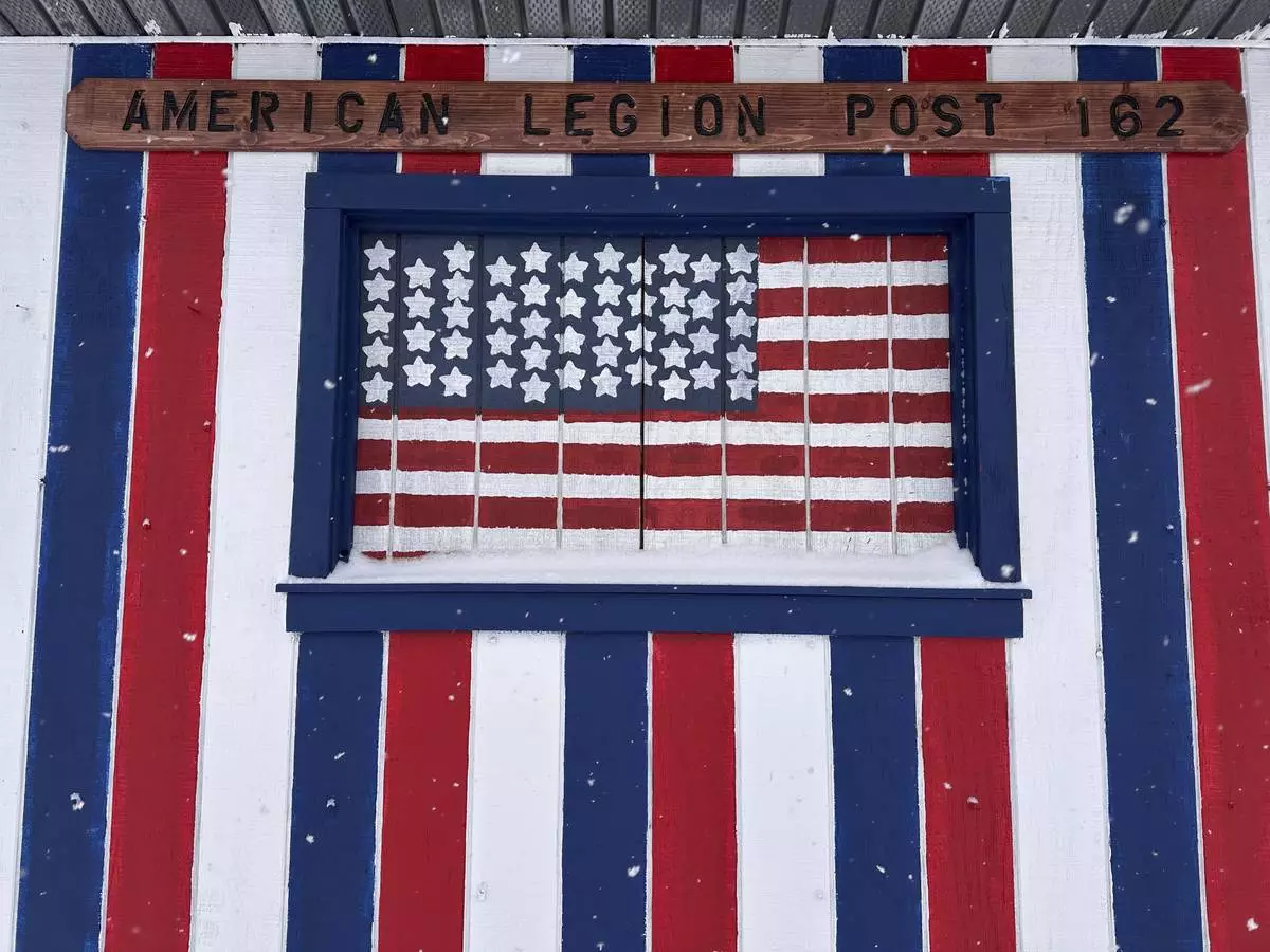
More snow falls near the American Legion Post in Lowville, N.Y., Sunday, Jan. 5, 2025. (AP Photo/Cara Anna)

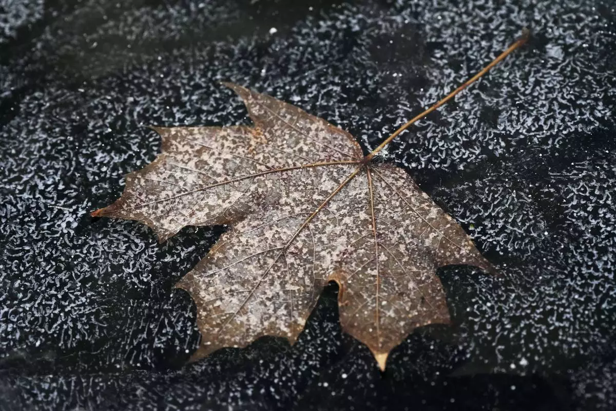
FILE - A leaf is frozen in the ice of a garden pond during cold weather in Buffalo Grove, Ill., Thursday, Dec. 12, 2024. (AP Photo/Nam Y. Huh, File)

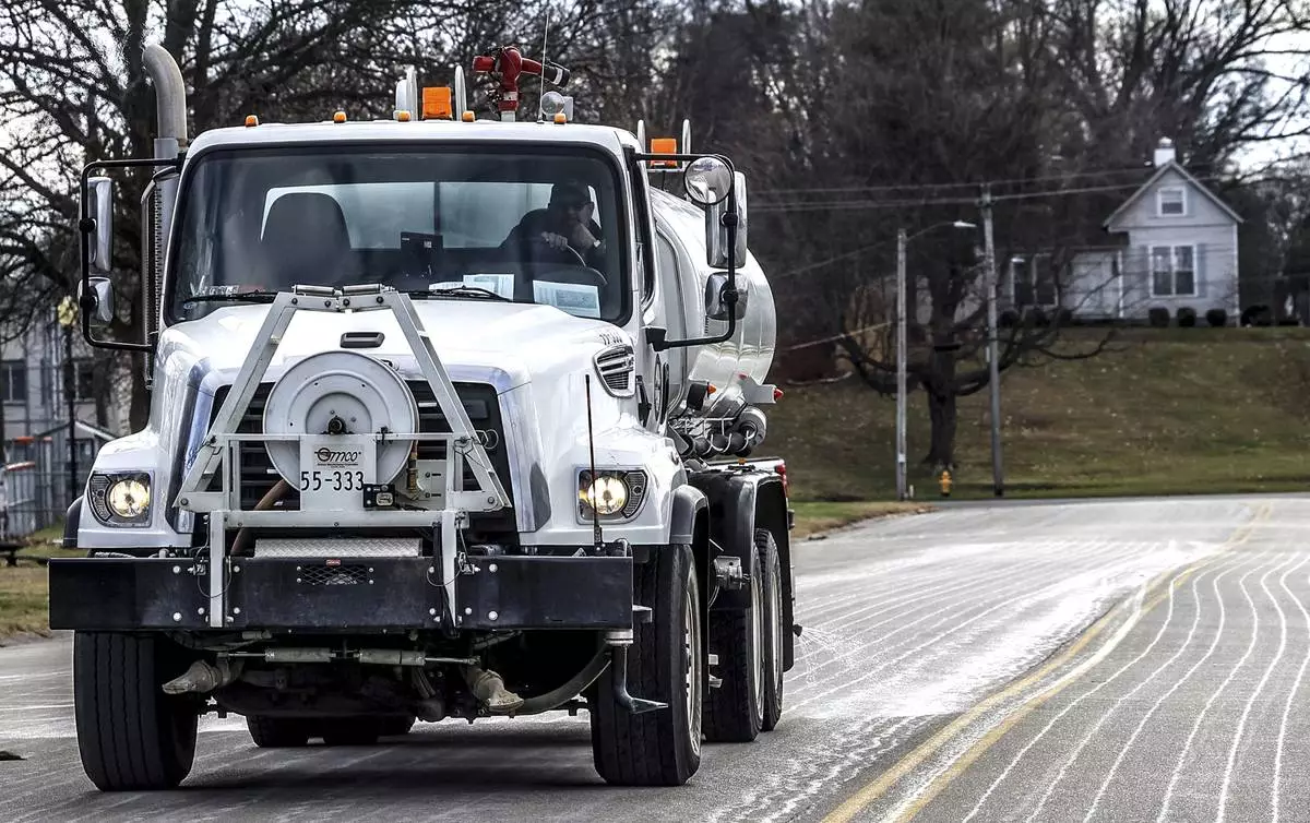
FILE - Steve Beckett with the street department in Owensboro, Ky., sprays a salt brine solution along Hickman Avenue in preparation for predicted snow and ice over the weekend, Friday, Jan. 3, 2025, in Owensboro, Ky. (Greg Eans/The Messenger-Inquirer via AP, File)

More winter weather blows into Lowville, New York on Saturday, January 4, 2025. (AP Photo/Cara Anna)

In a photo released by the Kansas Highway Patrol, a car is wedged between two trucks during icy weather Saturday, Jan. 4, 2024, in Salina, Kansas. (Kansas Highway Patrol via AP)

A snowplow passes through Lowville, New York, on Saturday, Jan. 4, 2025. (AP Photo/Cara Anna)


