Vegetable prices in China have risen recently due to unfavorable weather conditions, prompting the supply of discounted vegetables in various places to stabilize the market.
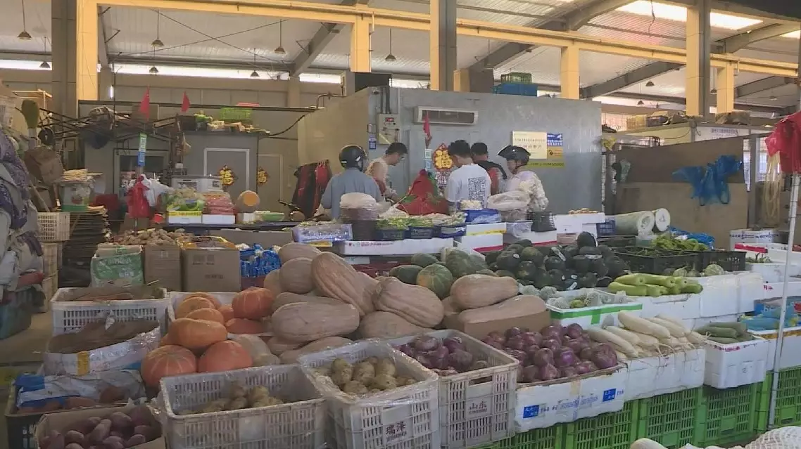
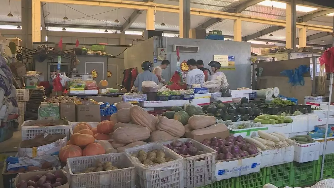
At a vegetable wholesale market in Changxing County of Huzhou City in east China's Zhejiang Province, merchants reported that since early July, the prices of 30 to 40 kinds of vegetables have gradually increased.
"Since the start of summer, vegetable prices have noticeably increased, especially for green leafy vegetables," said a local resident.
"It has been continuously hot this summer, with temperatures remaining above 40 degrees Celsius, driving vegetable prices higher," said Liu Shuling, a vegetable wholesaler.
Vegetable production in Changxing County is very limited at present, with most of the vegetables sold at the market coming from Anhui, Henan, Shandong, and other regions. Due to high temperatures and rainy weather in these production areas, overall output has recently decreased, leading to rising prices. However, the increase is expected to narrow as supply improves in September.
In Shanghai, various discounted vegetables have been introduced to the market to help stabilize rising prices.
At a market in Xuhui District, many vegetable vendors prominently display boards advertising discount promotions. Nearly every stall offers two types of discounted vegetables, with sales prices matching the purchase prices.
"I bought a lot of discounted vegetables today. I can save some for tomorrow," said a local resident.
Unfavorable weather conditions temporarily push up vegetable prices in China
Unfavorable weather conditions temporarily push up vegetable prices in China
A contemporary Chinese art exhibition has been held at the Hungarian National Museum in Budapest, playing a vibrant role in fostering cultural ties between the East and the West. The exhibits, including brush paintings and sculptures on mountains, rivers, plants, blend traditional brushwork with Western influences, creating a serene, meditative atmosphere.
The artists' deep connection with the natural world is a window that the "Chinese Xieyi exhibition'' at the Hungarian National Museum presents to the public to explore Chinese philosophy, according to Tunde FegyvAri-Komori, curator of the Hungarian National Museum.
"This exhibition is a collection of 58 artworks, including four sculptures from 58 different artists, from the National Art Museum of China's collection. And they represent modern and contemporary artworks, partly reflecting back to the traditional Chinese painting and Chinese art, and partly reflecting to Western influences in art, which mostly started arriving in China after the 1970s and the 80s," said FegyvAri-Komori.
Much of the exhibition showcases traditional Chinese brushwork, where delicate strokes create intricate designs and meanings that express deep philosophical meanings, allowing viewers to experience the world from their perspective.
"The Chinese curators constructed the exhibition around these three topics and these three main aspects to approach Xieyi itself. The first one is called 'yi', which translates as meaning. This focuses on the essence of the topic. The second one is form, which in Chinese is 'xing,' and it's quite similar to meaning, but from a different approach. They are focusing on the form itself that they see, but they are not aiming at mirroring reality. The third one is called 'interest,' or in Chinese called 'qu.' And in this last part, I would say that it's a combination of the first two," said FegyvAri-Komori.
One standout piece is a sculpture that blends mythology and modern art, depicting Lao Tzu departing from the Qin Empire (221 BC to 207 BC), carrying the wisdom that shaped Taoist thought with him. The ox-head panther he rides symbolizes mysticism and the spiritual journey, adding another mythical dimension to the work.
"It expresses Xieyi very well, but at the same time, it also expresses a little bit of Western modern art, abstract art," said FegyvAri-Komori.
For many visitors, the exhibition is a chance to experience the dynamic evolution of Chinese art.
"My father had several books about Chinese art, about porcelains, ceramics, and paintings. It always struck me how different it is from our European tradition. There's a subtlety and sensitivity in it. The way they express emotions feels so unique and profound," said Daniel, a visitor.
The exhibition, part of celebrations of the 75th anniversary of the establishment of diplomatic relations between Hungary and China, celebrates cultural exchange and shared appreciation for art and culture.

Contemporary Chinese art expo held in Hungary helps cultivate ties between east and west


