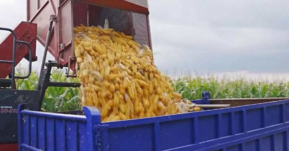
Chinese farmers are taking advantage of high resolution satellite images to help monitor farmland and protect crops.
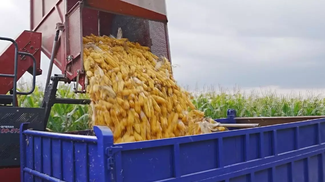
Lishu County in northeast China's Jilin Province is one of the main producers of corn in the country, with cornfields covering about 90 percent of the county's planting area.
Wang Jun is one of the biggest local grain farmers, managing 1,000 hectares of farmland. With such a large area, it used to be challenging to monitor and care for each section. In the past, farmers relied on scarecrows to deter birds and pests, and on manual labor to protect their crops. Now, they have new support from smart base stations.
"Now with this smart base station, we can see the disease, insect and pest and growth situation remotely. The farmland is too large, it was too difficult for us to monitor in real time with specific situations in the past," said Wang.
In Lishu's fields, special base stations are set up every 100 meters. Han Fengxiang, head of the local Fenghuangshan Rural Cooperative, said these "modern guardians" of these fields actually are equipped with satellite technology.
"Our technology is from the sky and the satellites. Look at this big screen, in the middle is our cooperative which now has 24 such monitoring stations you just saw, covering 1,000 hectares. On the monitoring platform, you can see the situation of any part of the land. You can click on (to find out) whose land this belongs to, what situation is convenient for us to operate. And the pests and diseases can be monitored in real time, eliminating a lot of manpower needed. It also helps us to estimate the output this year and to do the land assessment," said Han.
Apart from insect monitoring activity, these base stations can also monitor wind, humidity, and other conditions.
The remote monitoring data used in Lishu County comes from the Jilin-1 remote sensing satellite, which is in low-Earth orbit 500,000 meters above the ground.
Recently, the Jilin-1 satellite released the world's first high-definition annual global map, covering an area of 130 million square kilometers with a resolution of 0.5 meters. And at present, the highest resolution of the Jilin-1 can even reach 0.3 meters.
"This part shows the area where we are standing now. The resolution of 0.3 can be understood as a ground object with a length of 0.3 meters above the ground, which can be sensed by our satellites. If you look at the car, I can probably see the front windshield of the car, as well as its skylight and the glass behind it. In the image of 0.3-meter-resolution, you can clearly see the car with its three segments. A simple analogy for remote sensing satellites is that a high-definition camera hanging in space can take pictures of the earth's surface, like a camera," said Qu Chunmei, director of third Data Center Office at the Changguang Satellite Technology Co., Ltd.
Ultra-clear resolution can accurately depict plots and crop varieties, making it more comprehensive and precise than ever for monitoring farmland. The constellation of over 100 satellites acts like a bodyguard in the sky, ensuring that potential dangers in farmland have nowhere to hide.
"This is our remote sensing monitoring platform for Lishu County. We can monitor various aspects of farmland, such as moisture content, growing and disaster situation. And it can estimate the yield more accurately, which is of great help to the macroeconomic aspects such as national grain reserves and grain futures," said Qu.
For thousands of years, people on this land have adapted to the farming seasons, as reflected in the old Chinese saying, "depend on the sky for food". Today, however, the sky holds a new significance for farmers here.
"We have initially formed a 'fingertip agriculture' right now. Agricultural remote sensing is more complicated. It has strong timeliness, complex content and high data requirement. It is the high resolution improvement of remote sensing satellites making agricultural monitoring more scientific. In the future, there will be more data that can monitor soil nutrient content and so on and others to promote the iteration and progress of smart agriculture," said Wang Guiman, head of the agricultural technology station of Lishu County.
In addition to their intelligence, advanced high-definition satellite services also enhance security for farmers.
"At present, We can provide relevant departments with our monitoring data. Farmers can also use our satellite imagery as a basis for agricultural insurance claims, with more civilian rockets put into the construction of commercial space, which has promoted the large-scale rapid networking of our satellites," said Ma Hong, market manager of Changguang Satellite Technology Co., Ltd.
On Friday, Jilin-1 launched six more satellites, bringing its total in orbit to 114 and enhancing its high-definition remote sensing services even further.
Satellite images help Chinese farmers monitor farmland, protect crops