LOS ANGELES (AP) — Massive wildfires burning in the Los Angeles area have filled the air with a thick cloud of smoke and ash, prompting air quality advisories across a vast stretch of Southern California.
Three major fires broke out Tuesday amid dangerously high winds, killing at least five people and destroying more than 1,000 structures. Tens of thousands of people have been told to evacuate, many in harrowing conditions.
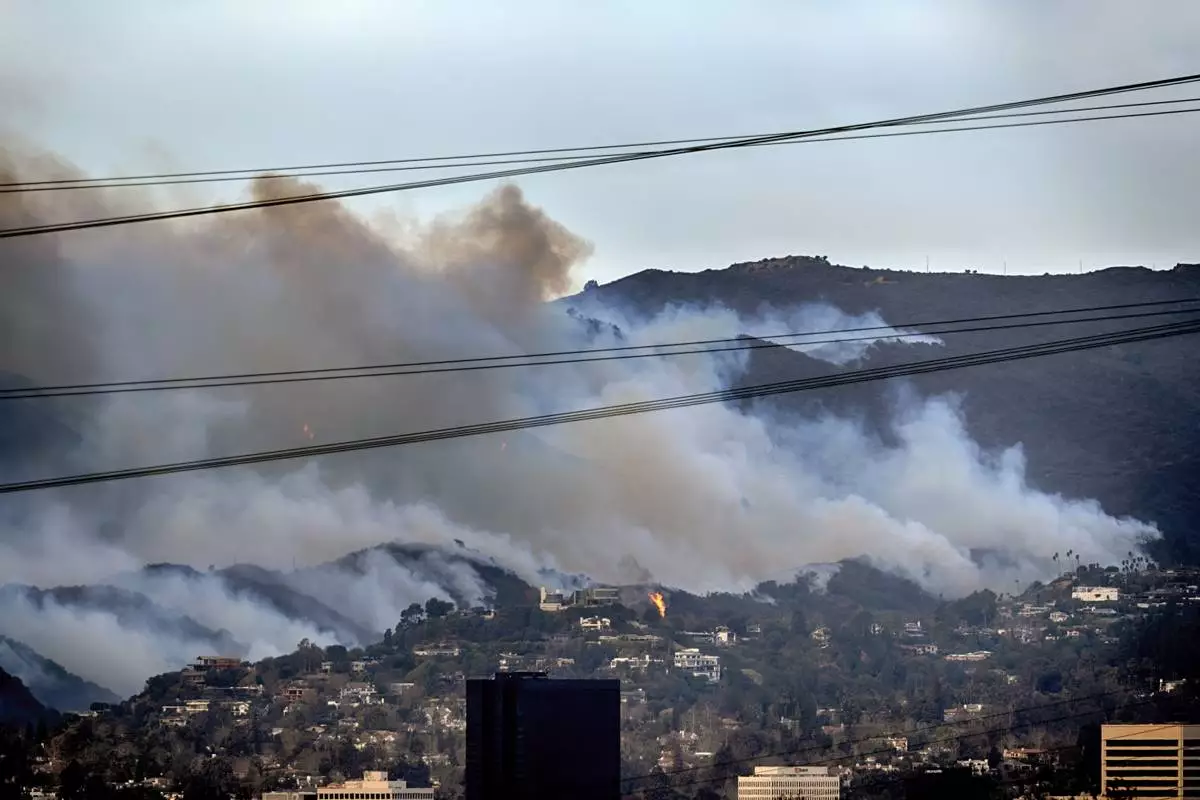
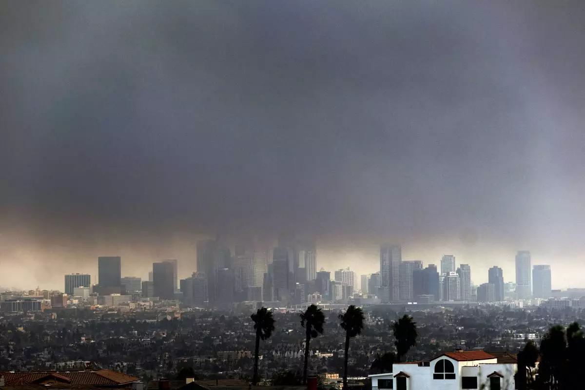
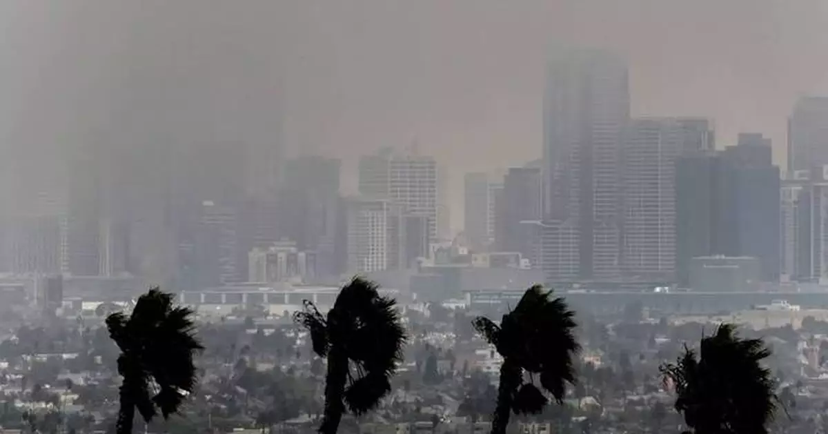
In Altadena where one of the major fires raged, the smoke was so thick a person used a flashlight to see down the street. A dark cloud hovered over downtown Los Angeles and smoky air and ash drifted well beyond the city to communities to the east and south.
Wildfire smoke increases tiny particles in the air known as particulate matter that can be harmful to people's health. Children, the elderly and people with conditions such as heart and lung disease are more sensitive to the effects.
Dr. Puneet Gupta, the assistant medical director for the Los Angeles County Fire Department, said wildfire smoke is known to cause heart attacks and worsen asthma, and that burning homes can also release cyanide and carbon dioxide. He said sickened patients are showing up in emergency rooms when hospitals already are full because of flu season, and some hospitals could also face evacuations due to the fires.
“We have a number of hospitals that are threatened, and if they have to be evacuated, it could become a crisis,” said Gupta, also a spokesperson for the American College of Emergency Physicians. “So that is one of the things that we have to consider.”
U.S. Health Secretary Xavier Becerra raised concerns Wednesday about the smoke's impact on people’s health in the aftermath of fires that have charred massive amounts of vegetation and buildings.
“That air that’s being spewed is no longer just the kind of smoke that we used to see from wildfires, where it was natural vegetation that was burning,” said Becerra, a former California Attorney General. “Now you got a whole bunch of toxic materials that are getting burned and put into the air.”
About 17 million people living across Southern California are covered by smoke and dust advisories issued for the three wildfires, according to the South Coast Air Quality Management District.
The smoke advisory was expected to last until late Thursday. A dust advisory was also in effect until late Wednesday as gusty winds could kick up ash and dust from prior fires and further worsen air conditions, the district said.
The worst conditions were in the vicinity of the fires with some areas covered in thick, gray smoke. In East Los Angeles, the air quality index hit an unhealthy 173. Good air quality is considered to be 50 or less.
But dozens of miles away, air quality also was deemed unhealthy for sensitive groups including the elderly and young children. Officials in the city of Long Beach about 20 miles (32 kilometers) south of Los Angeles warned residents to take precautions due to the smoky air, and in coastal Rancho Palos Verdes the air quality index measured 108, which is considered unhealthy for those sensitive to pollution.
Winds from the northwest were expected late Wednesday and Thursday to push air from the regions where fires were still burning toward the south across Los Angeles and Orange counties and east toward San Bernardino County.
People living in areas affected by wildfire smoke should try to stay indoors and keep windows and doors shut to limit their exposure.
They should avoid vigorous physical activity and run air conditioning or an air purifier, and should not use house fans that draw in outside air.
For those who must be outside, a respirator mask can offer some protection, according to air quality regulators.

Spot fires along a hillside burn the Brentwood section of Los Angeles on Wednesday, Jan. 8, 2025. (AP Photo/Richard Vogel)

Thick heavy smoke from wildfires shrouds downtown Los Angeles on Wednesday, Jan. 8, 2025. (AP Photo/Richard Vogel)

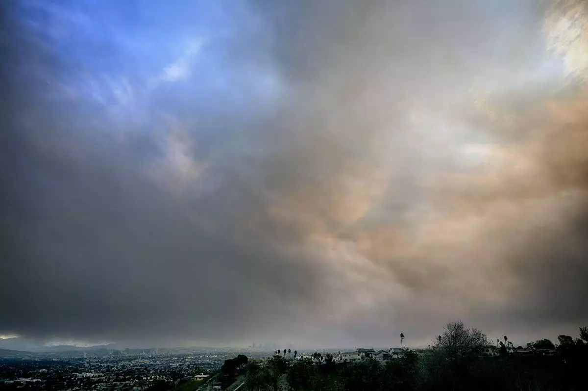
Thick heavy black smoke from wildfires moves in over downtown Los Angeles on Wednesday, Jan. 8, 2025. (AP Photo/Richard Vogel)

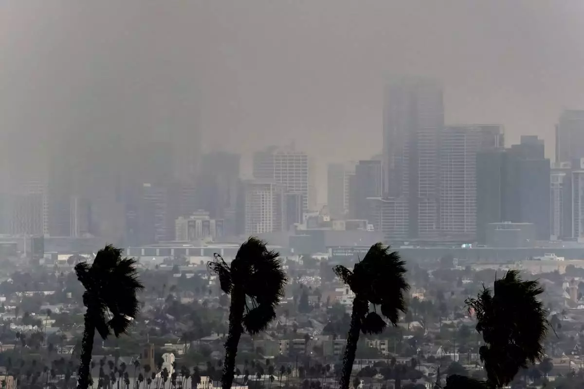
High winds blow as thick smoke from wildfires shrouds downtown Los Angeles on Wednesday, Jan. 8, 2025. (AP Photo/Richard Vogel)
HOPKINSVILLE, Ky. (AP) — Torrential rains and flash flooding battered parts of the Midwest and South on Friday, killing a boy in Kentucky who was swept away as he walked to catch his school bus. Many communities were left reeling from tornadoes that destroyed entire neighborhoods and killed at least seven people earlier this week.
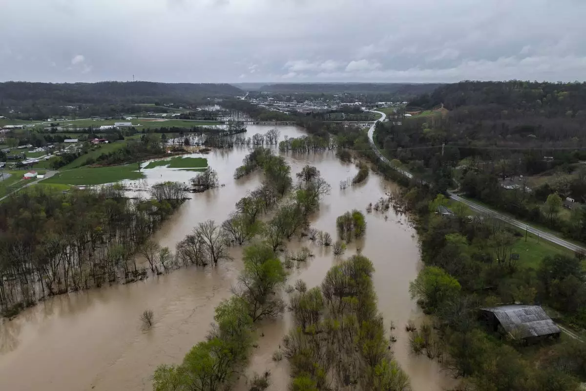
Round after round of heavy rains have pounded the central U.S. for days, and forecasters warned that it could persist through Saturday. Satellite imagery showed thunderstorms lined up like freight trains over communities in Arkansas, Tennessee and Kentucky, according to the national Weather Prediction Center in Maryland.
In Frankfort, Kentucky, a 9-year-old boy died in the morning after floodwaters swept him away while he was walking to a school bus stop, Gov. Andy Beshear said on social media. Officials said Gabriel Andrews' body was found about a half-mile from where he went missing.
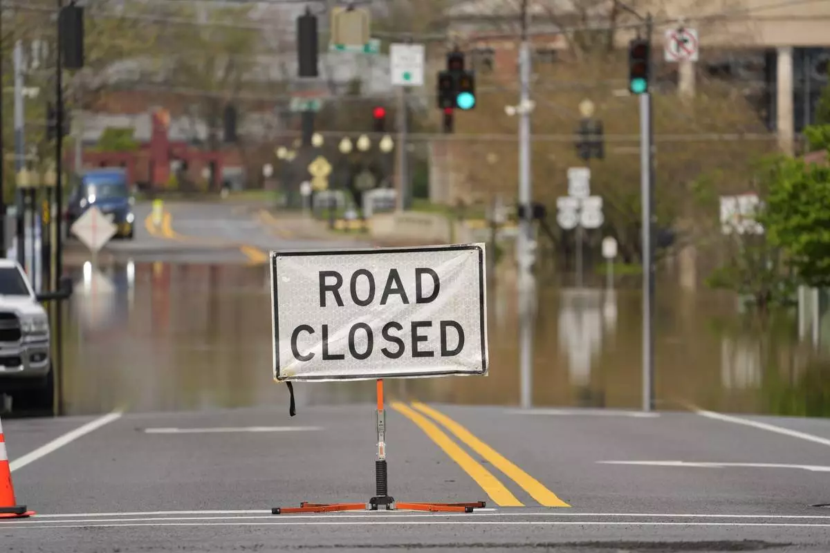
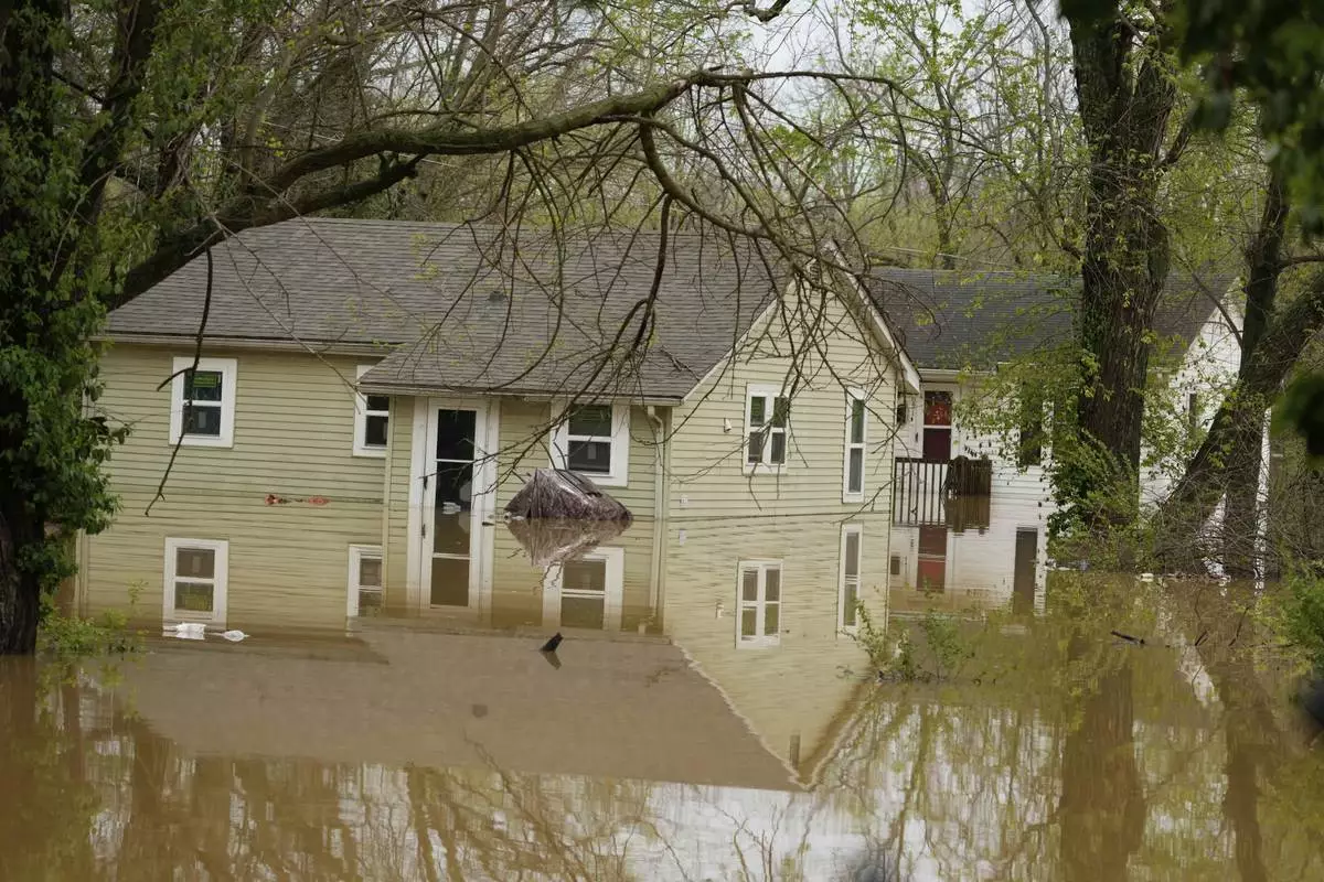
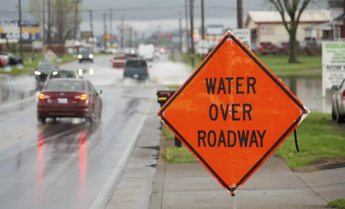
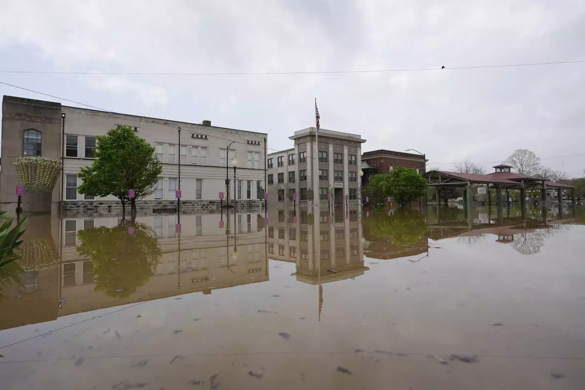
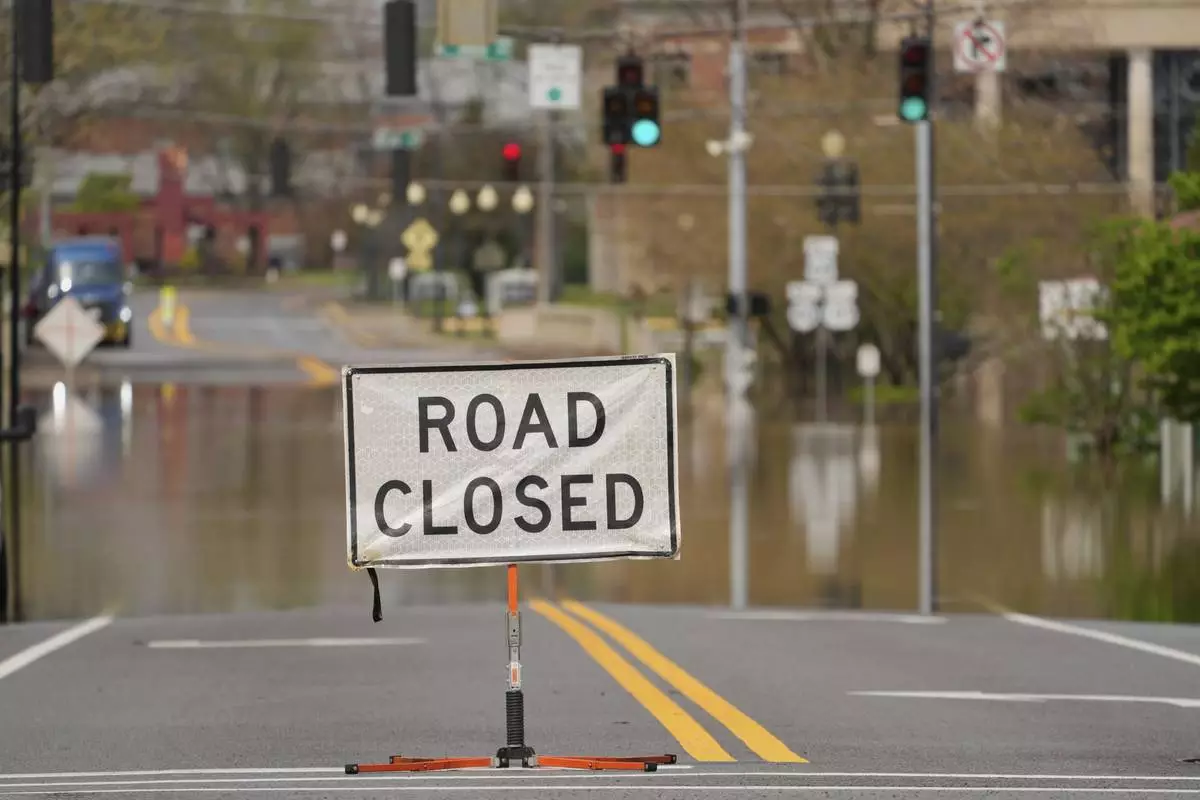
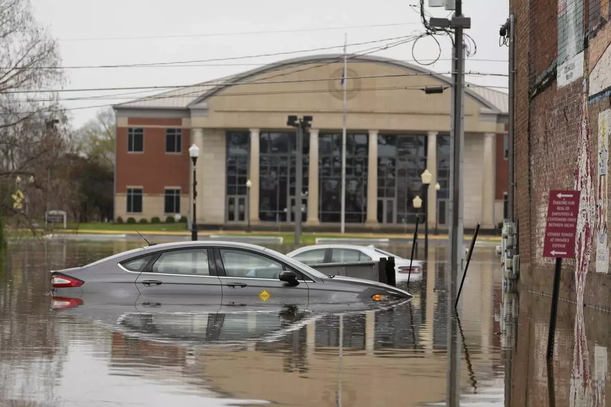
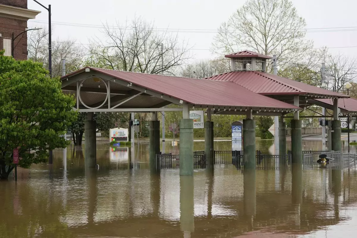
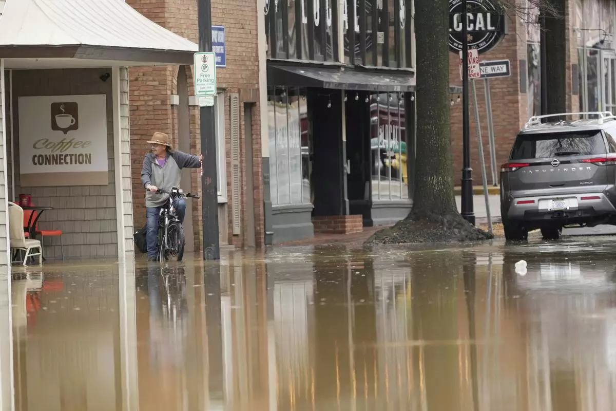
The downtown area of Hopkinsville, Kentucky — a city of 31,000 residents 72 miles (116 kilometers) northwest of Nashville — was submerged. A dozen people were rescued from homes, and dozens of pets were moved away from rising water, a fire official said.
“The main arteries through Hopkinsville are probably 2 feet under water,” Christian County Judge-Executive Jerry Gilliam said earlier.
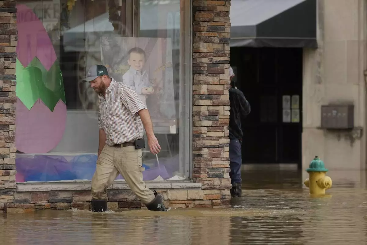
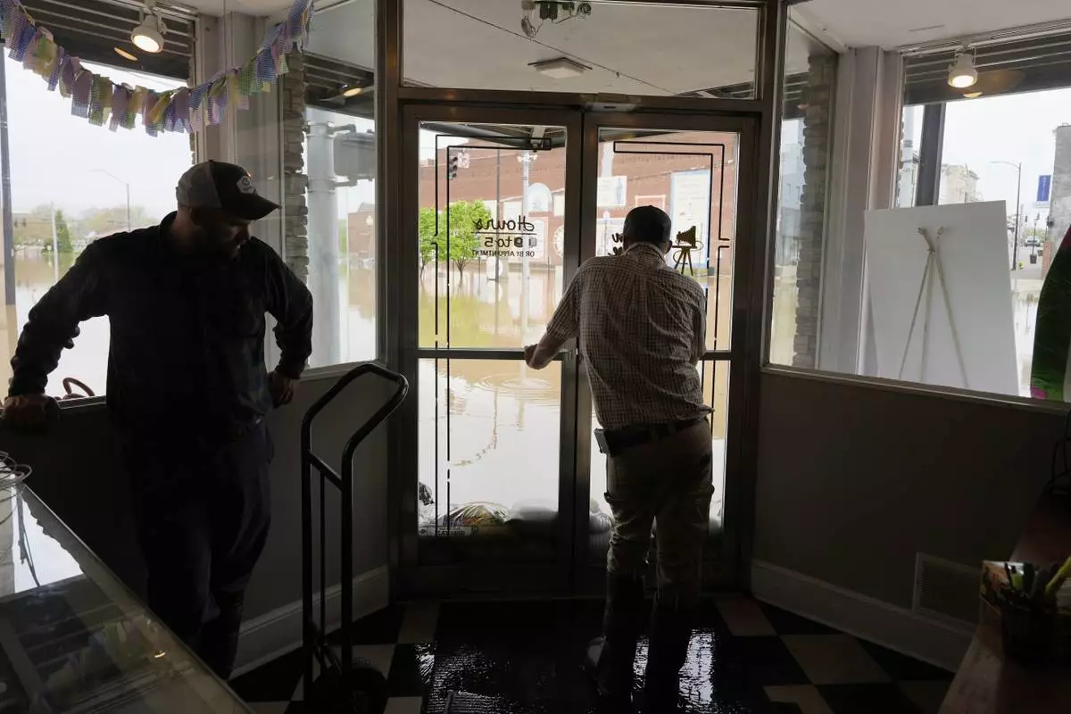
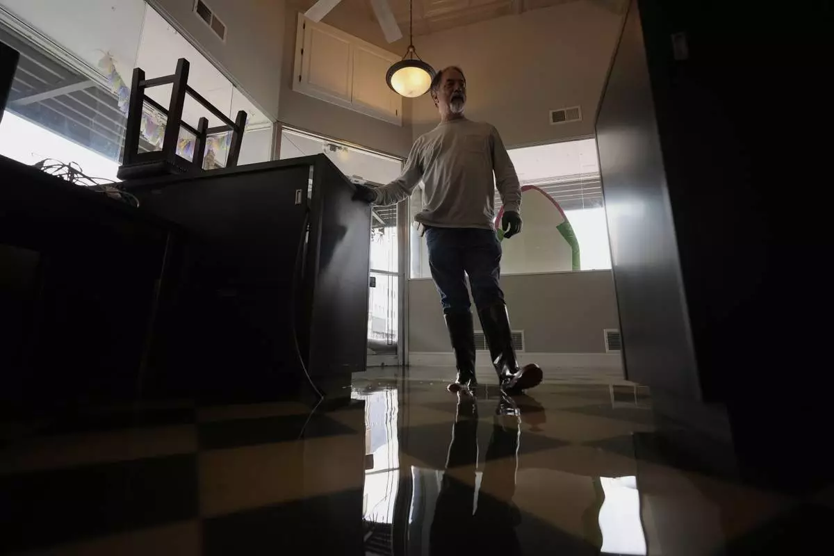
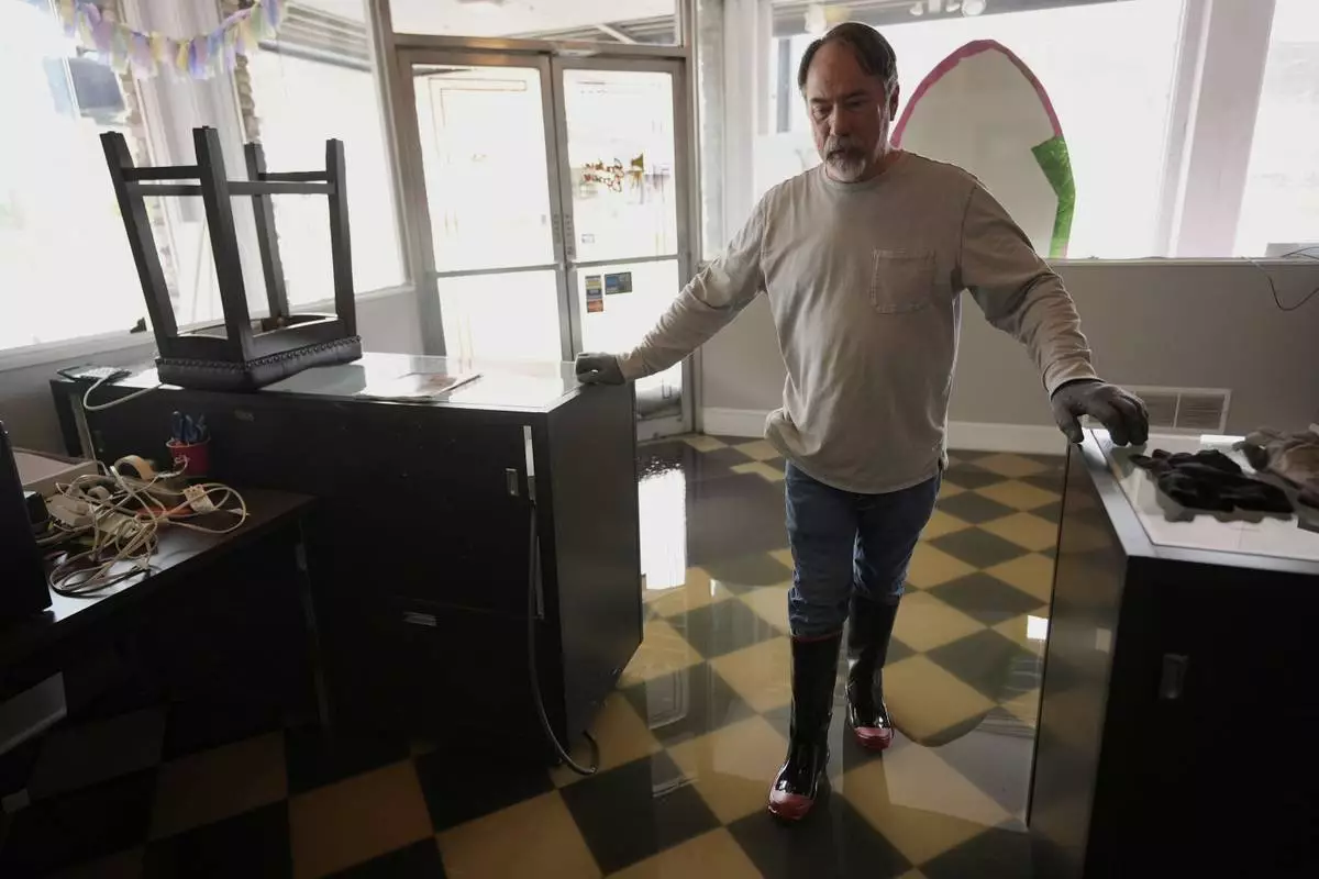
Tony Kirves and some friends used sandbags and a vacuum to try to hold back rising waters that covered the basement and seeped into the ground floor of his photography business in Hopkinsville. Downtown was “like a lake,” he said.
“We’re holding ground,” he said. “We’re trying to maintain and keep it out the best we can."
A corridor from northeast Texas through Arkansas and into southeast Missouri, which has a population of about 2.3 million, could see clusters of severe thunderstorms late Friday. The National Weather Service’s Oklahoma-based Storm Prediction Center warned of the potential for intense tornadoes and large hail.
The seven people killed in the initial wave of storms that spawned powerful tornadoes on Wednesday and early Thursday were in Tennessee, Missouri and Indiana.
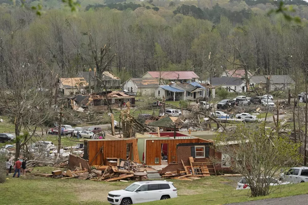
Tennessee Gov. Bill Lee said entire neighborhoods in the hard-hit town of Selmer were “completely wiped out” and it was too early to know whether there were more deaths as searches continued.
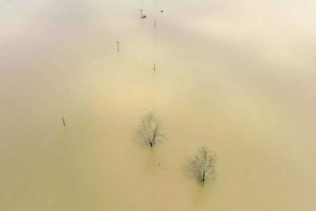
Heavy rains were expected to continue in parts of Missouri, Kentucky and elsewhere in the coming days and could produce dangerous flash floods. The weather service said 45 river locations in multiple states were expected to reach major flood stage, with extensive flooding of structures, roads and other critical infrastructure possible.
In Christian County, which includes Hopkinsville, 6 to 10 inches (15.2 to 25.4 centimeters) fell since Wednesday evening, the National Weather Service said Friday afternoon. The rain caused the Little River to surge over its banks, and 4 to 8 inches (10.2 to 20.3) centimeters more could fall by Sunday, it said.
A pet boarding business was under water, forcing rescuers to move dozens of dogs to a local animal shelter, said Gilliam, the county executive. Crews rescued people from four or five vehicles and multiple homes, mostly by boat, said Randy Graham, the emergency management director in Christian County.
“This is the worst I’ve ever seen downtown,” Gilliam said.
Hundreds of Kentucky roads were impassable because of floodwaters, downed trees or mud and rock slides, and the number of closures were likely to increase with more rain late Friday and Saturday, Beshear said.
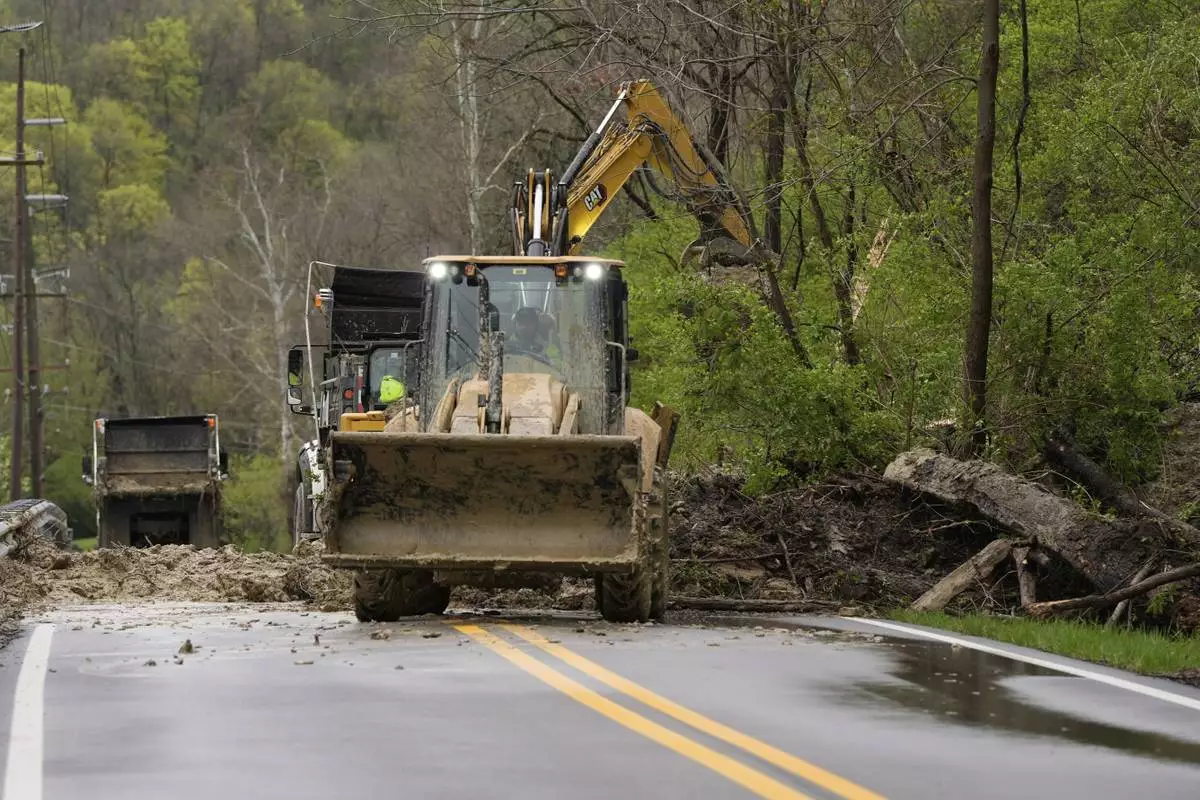
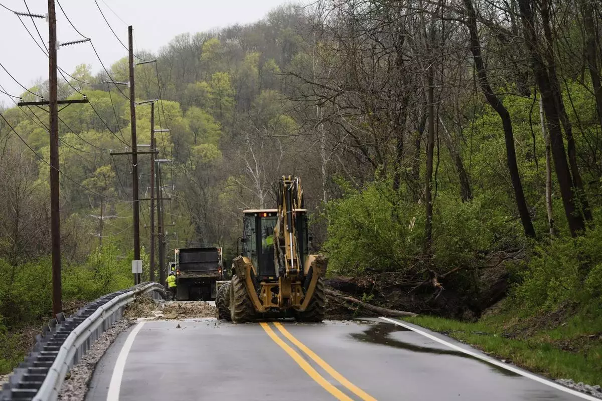
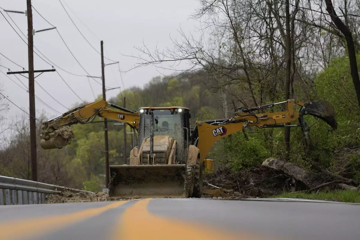
A landslide blocked a nearly 3-mile (4.8-kilometer) stretch of Mary Ingles Highway in the state's north, according to the Kentucky Transportation Cabinet. A landslide closed the same section of road in 2019, and it reopened last year, WLWT-TV reported.
Flash flooding is particularly worrisome in rural Kentucky where water can rush off the mountains into the hollows. Less than four years ago, dozens died in flooding in the eastern part of the state.
Extreme flooding across a corridor that includes Louisville, Kentucky, and Memphis — which have major cargo hubs — could also lead to shipping and supply chain delays, said Jonathan Porter, chief meteorologist at AccuWeather.
Forecasters attributed the violent weather to warm temperatures, an unstable atmosphere, strong wind shear and abundant moisture streaming from the Gulf. At least 318 tornado warnings have been issued by the National Weather Service since this week’s outbreak began Wednesday.
The outburst comes at a time when nearly half of National Weather Service forecast offices have 20% vacancy rates after Trump administration job cuts — twice that of just a decade ago.
Homes were ripped to their foundations this week in Selmer, which was hit by a tornado with winds estimated up to 160 mph (257 kph), according to the weather service. Advance warning of storms likely saved lives, as hundreds of people sheltered at a courthouse, the governor said.
In neighboring Arkansas, a tornado near Blytheville lofted debris at least 25,000 feet (7.6 kilometers) high, according to weather service meteorologist Chelly Amin. The state’s emergency management office reported damage in 22 counties from tornadoes, wind, hail and flash flooding.
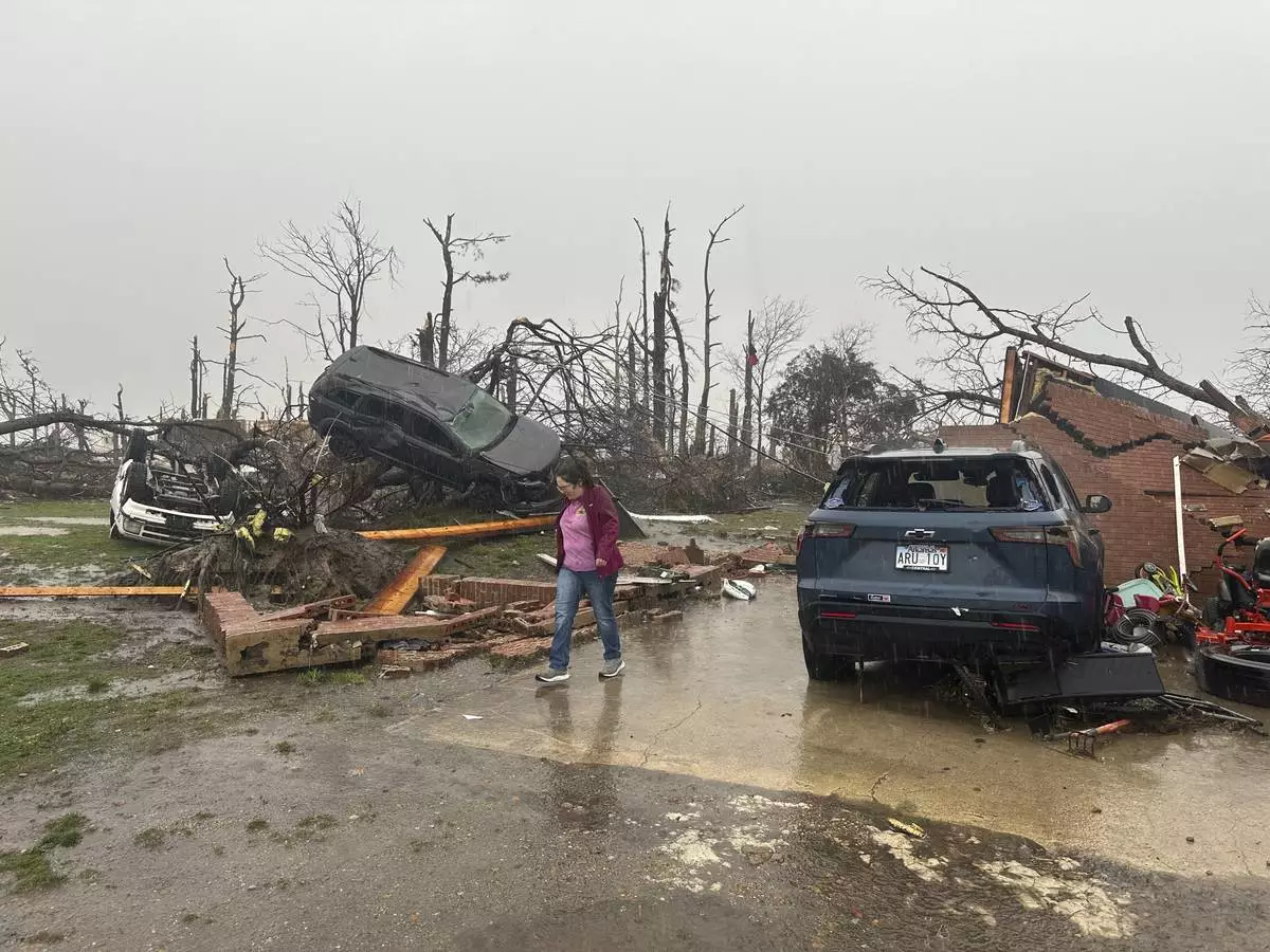
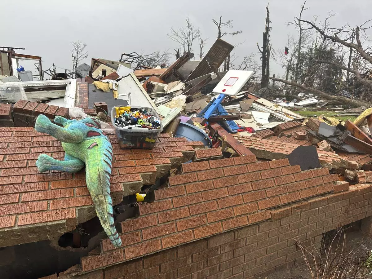
Workers on bulldozers cleared rubble along the highway that crosses through Lake City, where a tornado with winds of 150 mph (241 kph) sheared roofs off homes, collapsed brick walls and tossed cars into trees.
Mississippi's governor said at least 60 homes were damaged. And in far western Kentucky, four people were injured while taking shelter in a vehicle under a church carport, according to the emergency management office in Ballard County.
Schreiner reported from Shelbyville, Kentucky. Associated Press writers Andrew DeMillo in Little Rock, Arkansas, Jonathan Mattise in Nashville, Tennessee, Adrian Sainz in Memphis, Tennessee, Jeff Martin in Marietta, Georgia, Obed Lamy in Hopkinsville, and John Raby in Charleston, West Virginia, contributed.

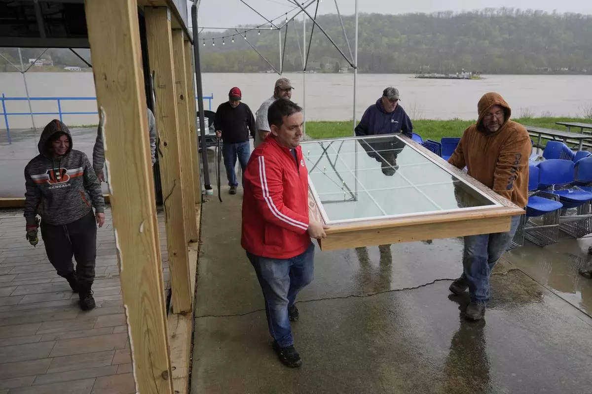
Drew's on the River Sports Bar and Grill employees, family, and friends, including Steve Schmidt, third from left, and Dave Schmidt, right, sons of owner Ron Schmidt, Remove exterior windows in the rain as the Ohio River rises behind them, Friday, April 4, 2025, in Cincinnati. (AP Photo/Carolyn Kaster)

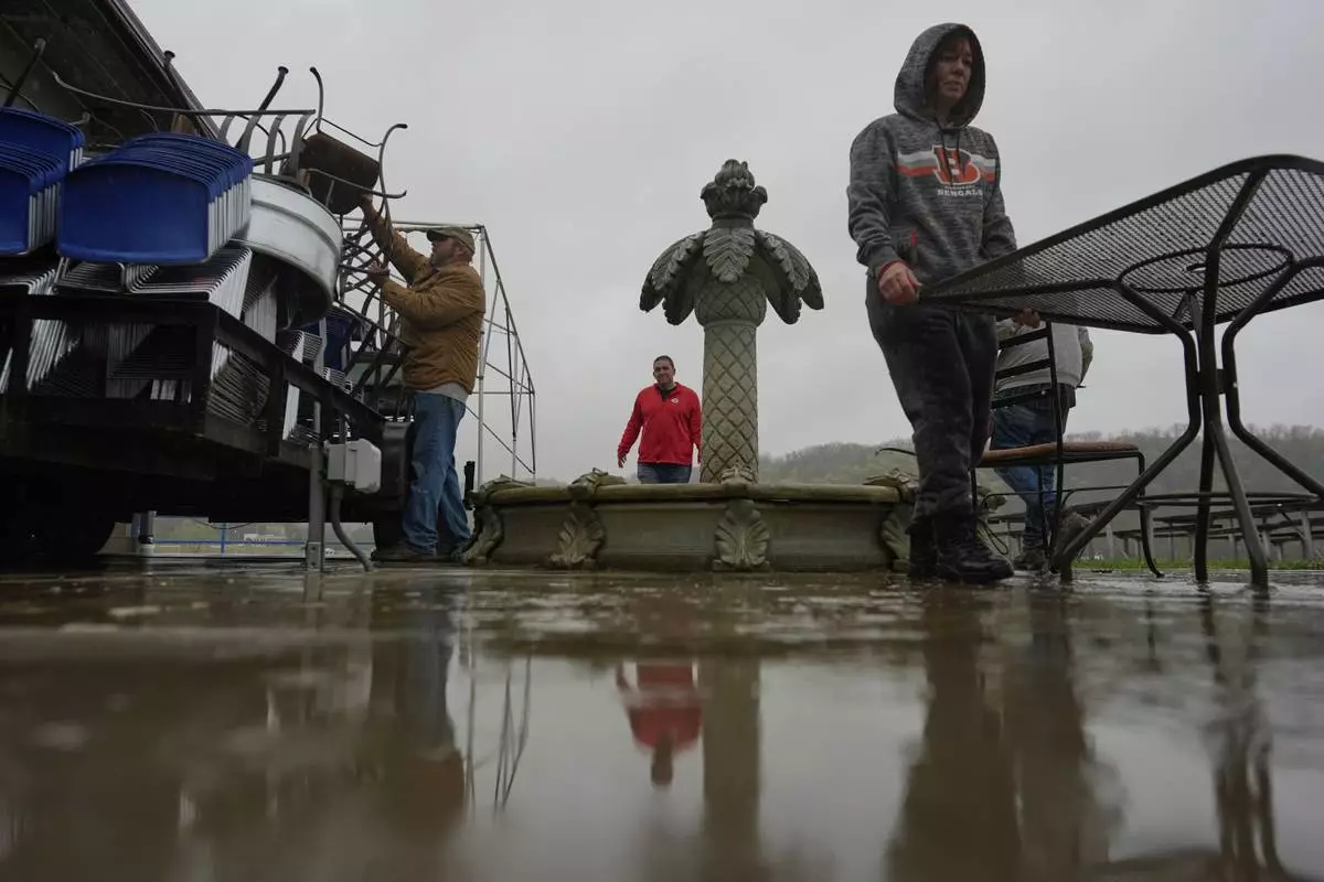
Drew's on the River Sports Bar and Grill manager, Carrie Haines, right, Frank left, and Steve Schmidt son of owner Ron Schmidt, center load furnature on to trailer in the rain as the Ohio River rises, Friday, April 4, 2025, in Cincinnati. (AP Photo/Carolyn Kaster)

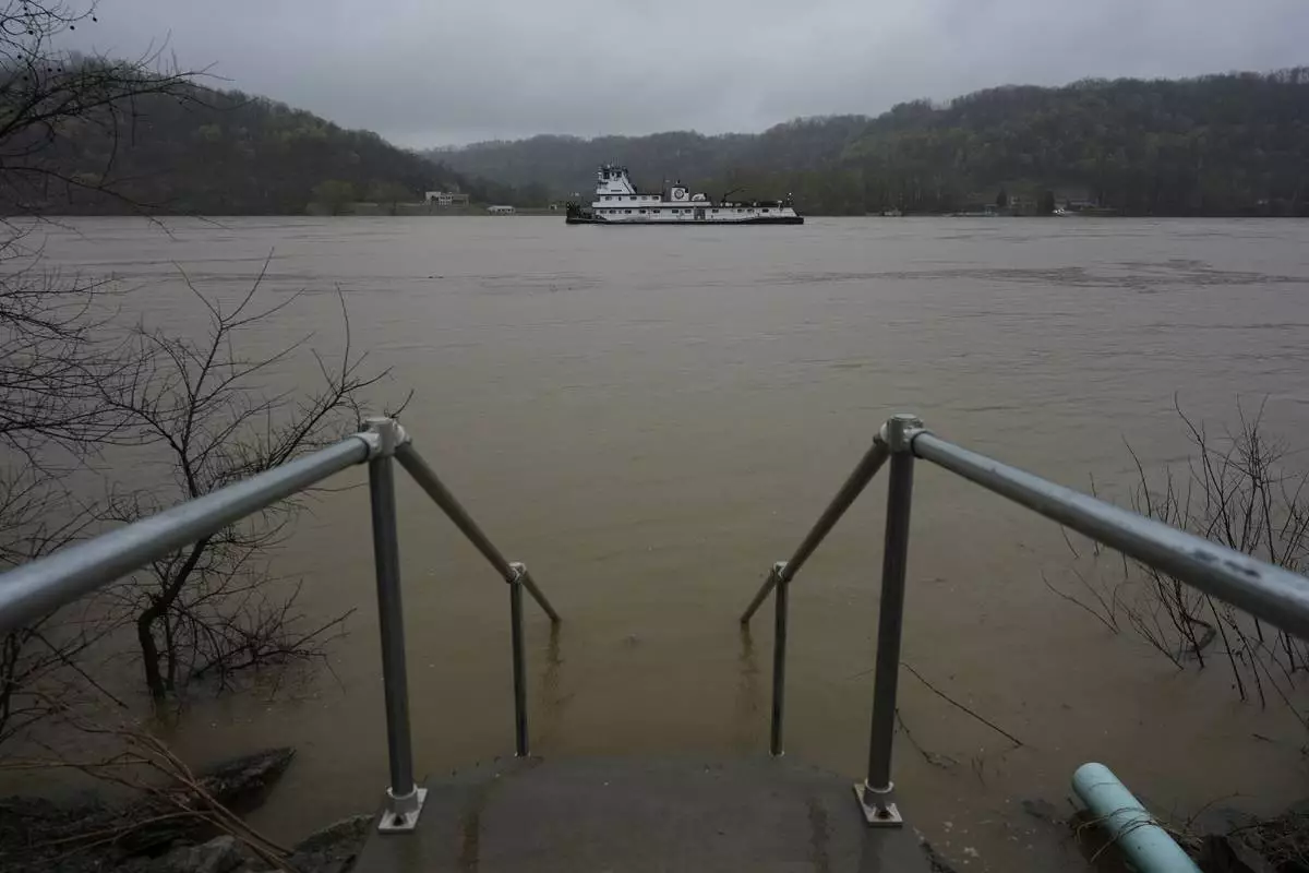
Stairs vanish into the rising Ohio River in front of Drew's on the River Sports Bar and Grill, Friday, April 4, 2025, in Cincinnati. (AP Photo/Carolyn Kaster)

The Green River floods in Casey County, Ky., on Friday, April 4, 2025. (Ryan C. Hermens/Lexington Herald-Leader via AP)

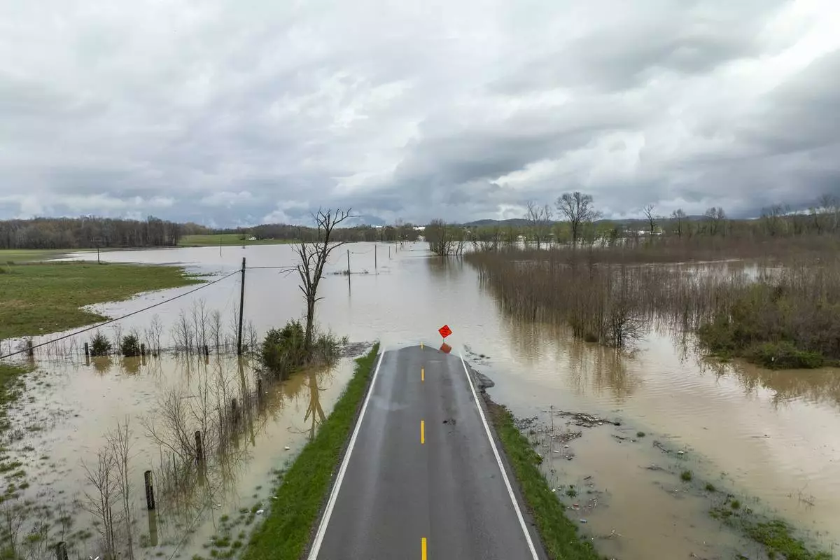
Floodwaters cover Kentucky Route 39 in Lincoln County, Ky., on Friday, April 4, 2025. (Ryan C. Hermens/Lexington Herald-Leader via AP)

A street is closed off due to flood waters in Hopkinsville, Ky., Friday, April 4, 2025. (AP Photo/George Walker IV)

Flood waters rise around homes on Bell Street in Hopkinsville, Ky., Friday, April 4, 2025. (AP Photo/George Walker IV)

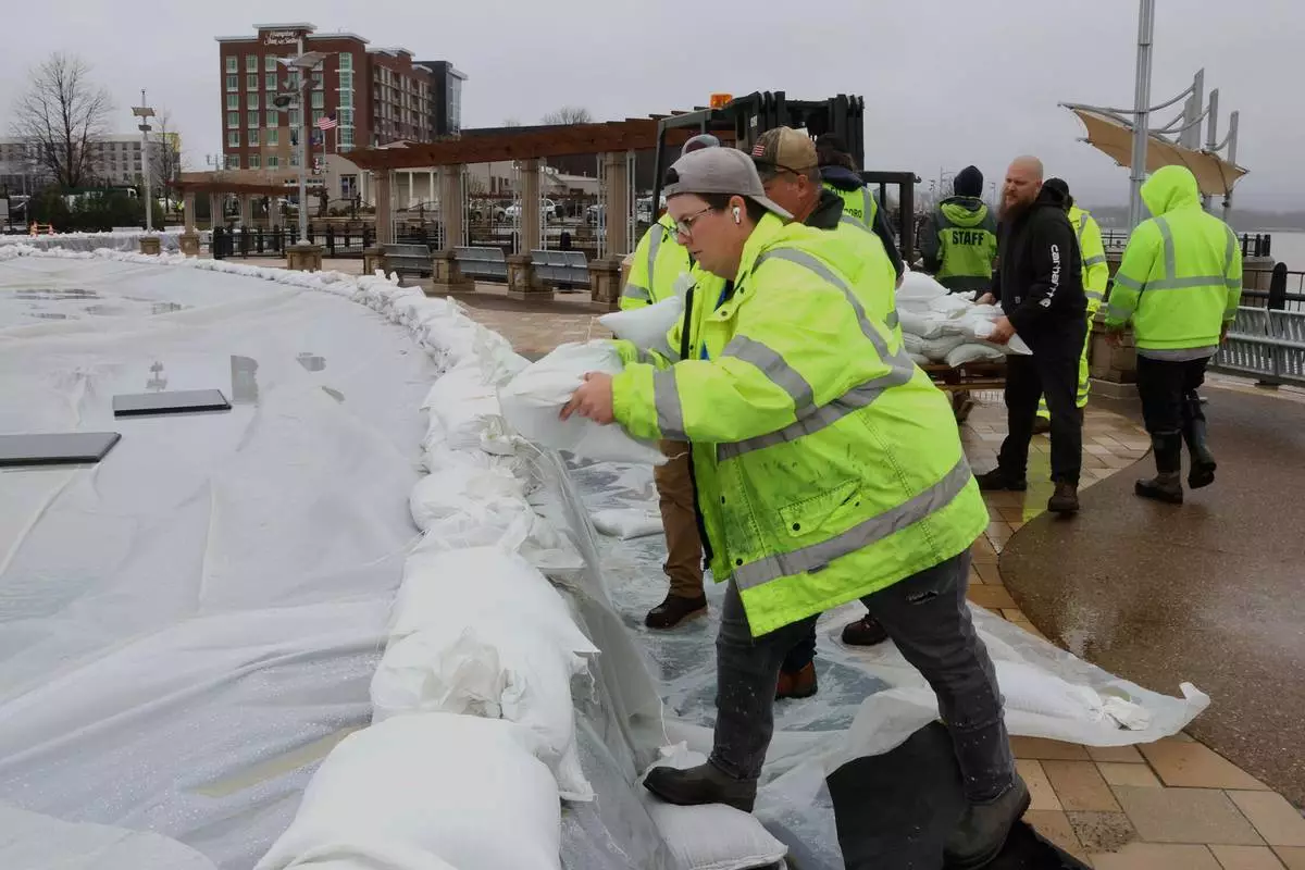
City of Owensboro workers put sandbags to protect the fountains in preparation for flooding of the Ohio River in Smothers Park in Owensboro, Ky., on Friday, April 4, 2025. (Alan Warren/The Messenger-Inquirer via AP)

Floodwaters cover Kentucky Route 39 in Lincoln County, Ky., on Friday, April 4, 2025. (Ryan C. Hermens/Lexington Herald-Leader via AP)

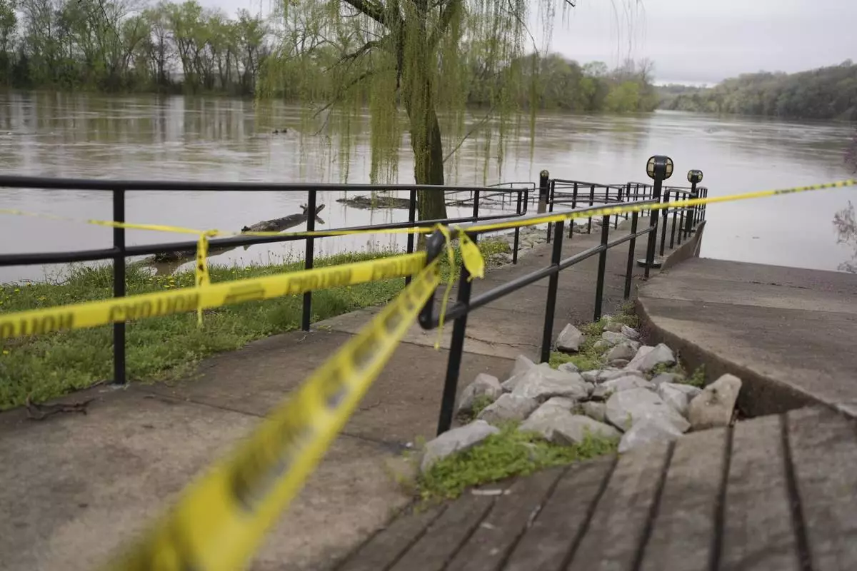
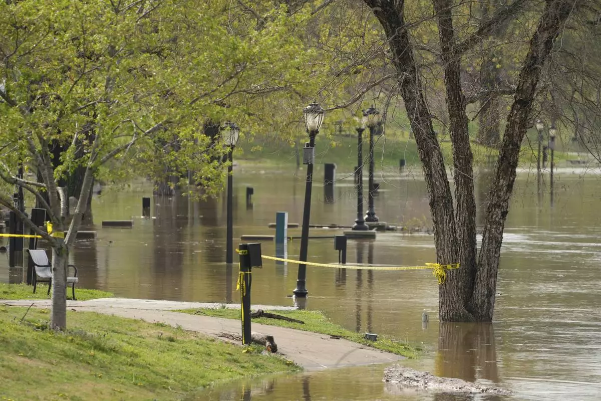
Caution tape is placed in MacGregor Park on the banks of the Cumberland River in Clarksville Tenn., Friday, April 4, 2025. (AP Photo/George Walker IV)

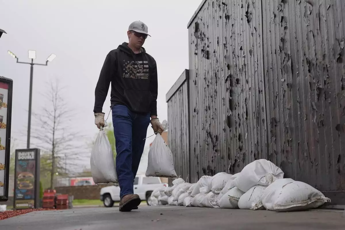
John Milt places sandbags in preparation for flooding near the banks of the Cumberland River in Clarksville Tenn., Friday, April 4, 2025. (AP Photo/George Walker IV)

Caution tape is placed in MacGregor Park on the banks of the Cumberland River in Clarksville Tenn., Friday, April 4, 2025. (AP Photo/George Walker IV)

Workers clear landslide debris, caused by heavy rains overnight, from Mary Ingles Highway, Friday, April 4, 2025, in Newport, Ky. (AP Photo/Carolyn Kaster)

Workers clear landslide debris, caused by heavy rains overnight, from Mary Ingles Highway, Friday, April 4, 2025, in Newport, Ky. (AP Photo/Carolyn Kaster)

Workers clear landslide debris, caused by heavy rains overnight, from Mary Ingles Highway, Friday, April 4, 2025, in Newport, Ky. (AP Photo/Carolyn Kaster)

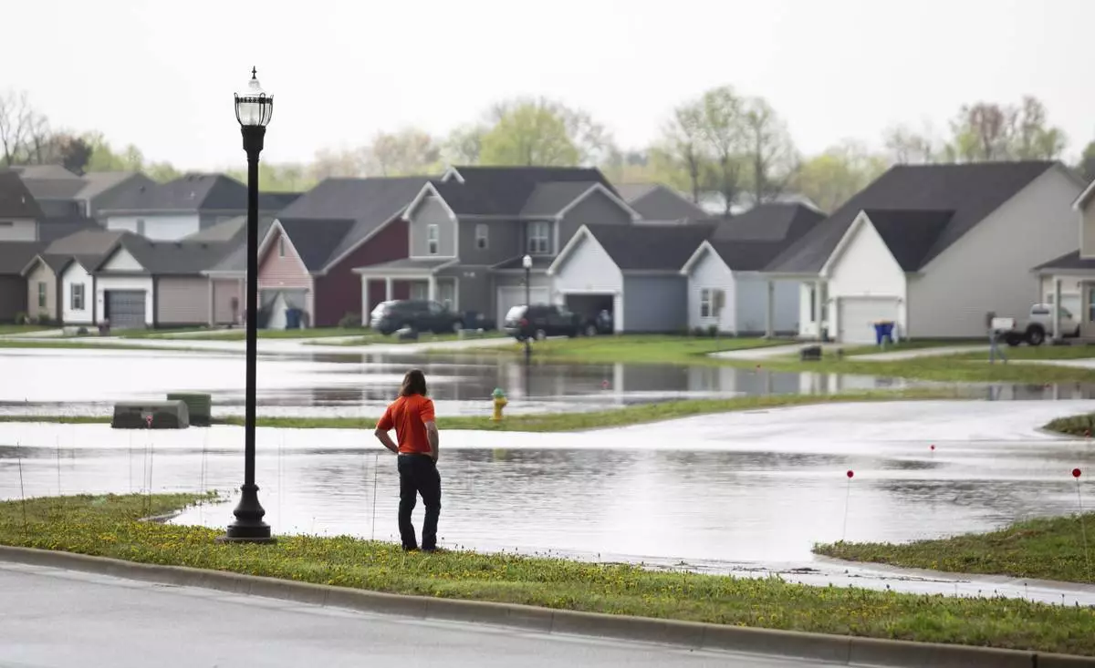
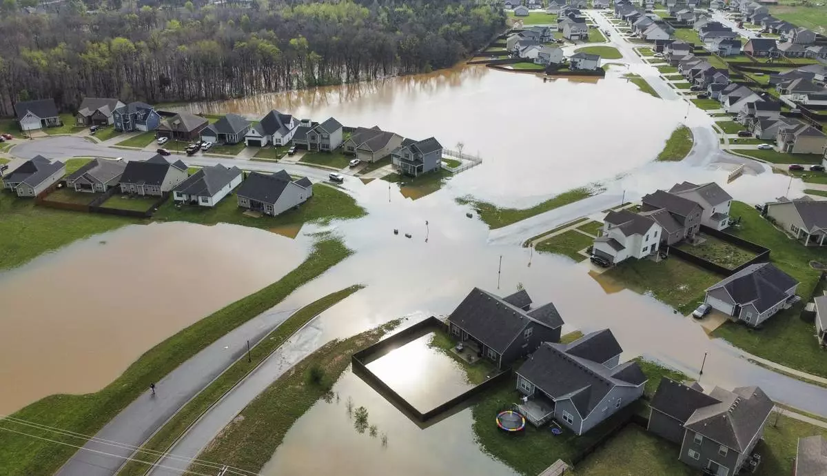
Flood waters cover the entryway to the Weather Stone subdivision off Russellville Road in Bowling Green, Ky., on Friday, April 4, 2025, after excessive rainfall Thursday into Friday drenched southcentral Kentucky with more than four and a half inches of rain. (Grace McDowell /Daily News via AP)

Flood waters cover the entryway to the Weather Stone subdivision off Russellville Road in Bowling Green, Ky., on Friday, April 4, 2025, after excessive rainfall Thursday into Friday drenched southcentral Kentucky with more than four and a half inches of rain. (Grace McDowell /Daily News via AP)

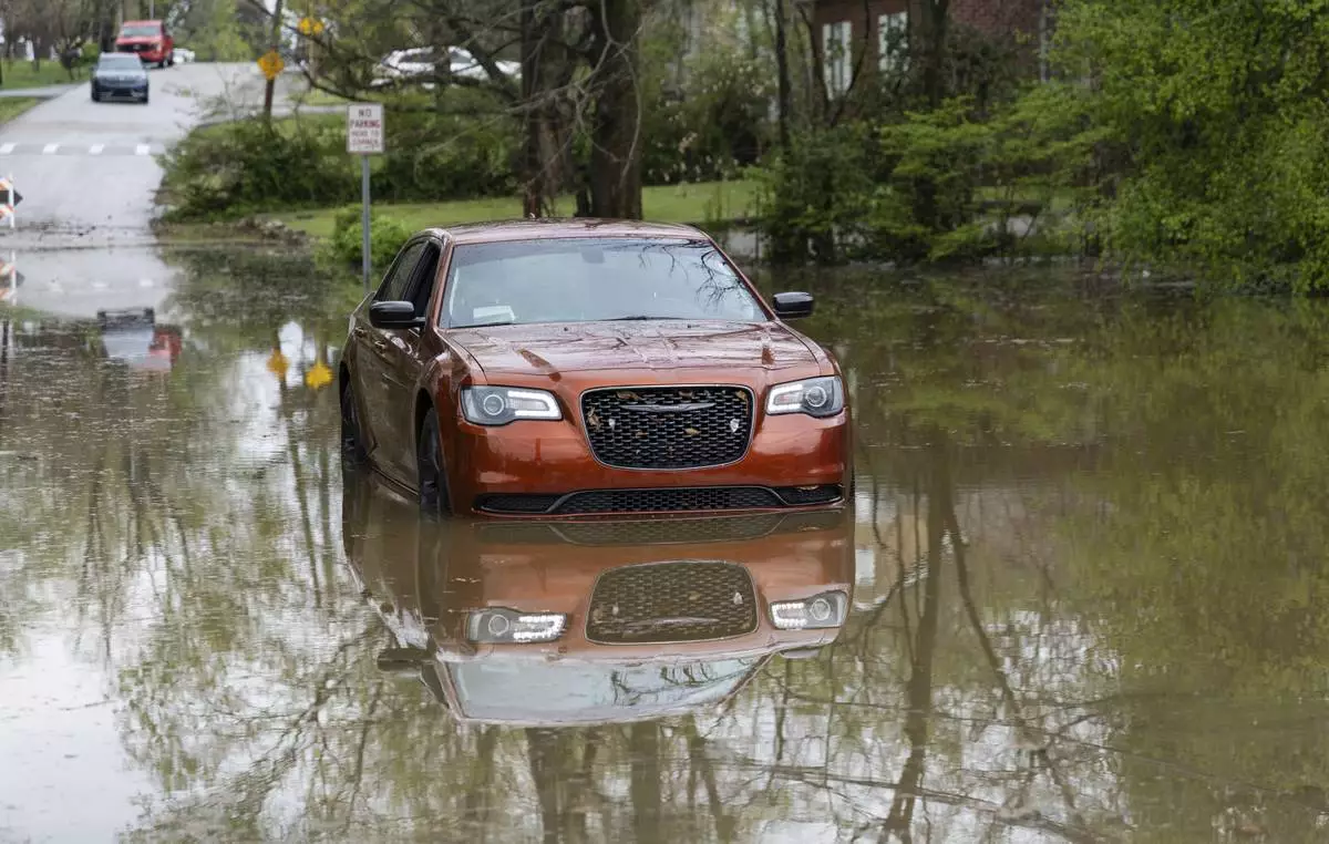
A car sits in a flooded ditch on the corner of Sumpter Avenue and Normal Street in Bowling Green, Ky., on Friday, April 4, 2025, after excessive rainfall Thursday into Friday drenched southcentral Kentucky with more than four and a half inches of rain. (Grace McDowell /Daily News via AP)

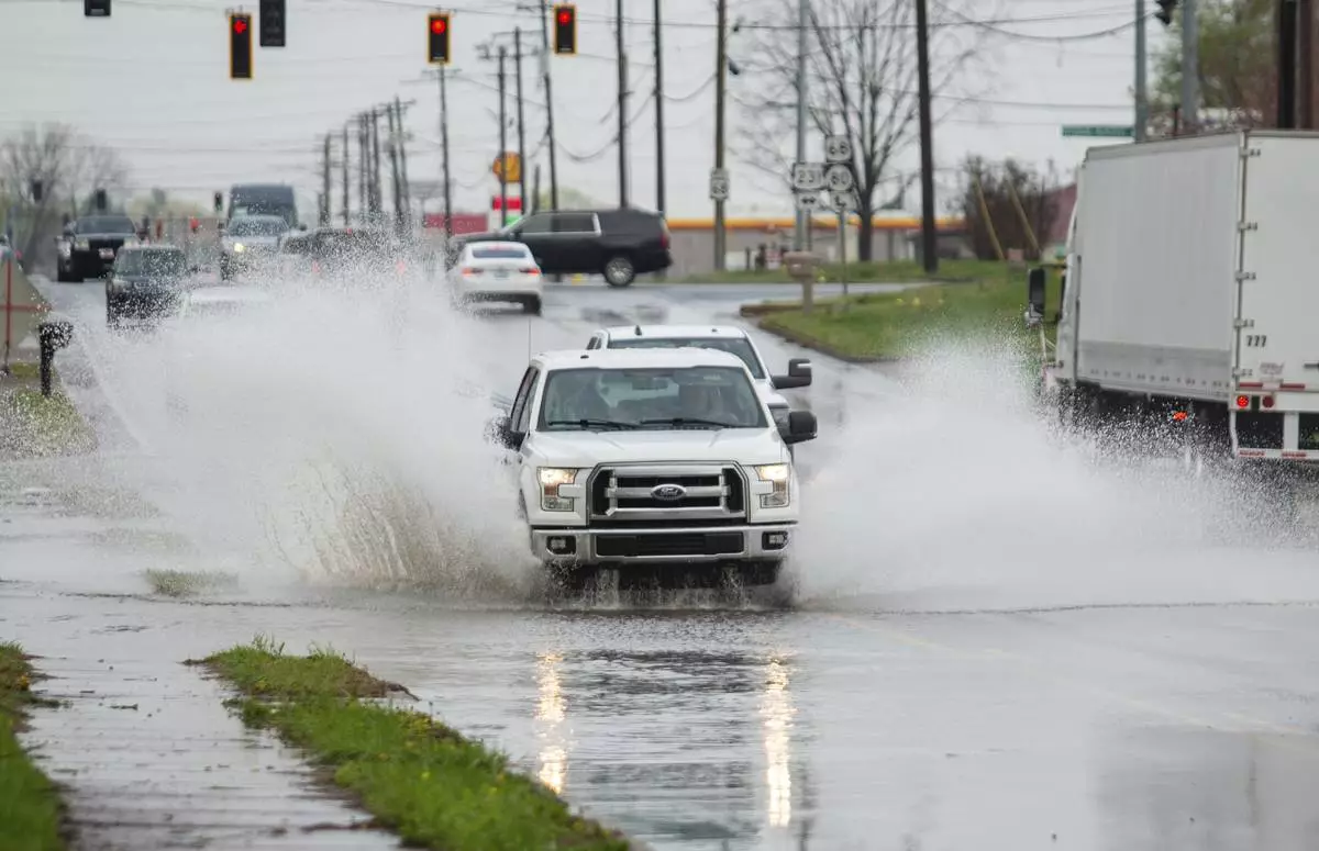
Vehicles travel through water covering Russellville Road in Bowling Green, Ky., on Friday, April 4, 2025, after excessive rainfall Thursday into Friday drenched southcentral Kentucky with more than four and a half inches of rain. (Grace McDowell /Daily News via AP)

Vehicles travel through water covering Russellville Road in Bowling Green, Ky., on Friday, April 4, 2025, after excessive rainfall Thursday into Friday drenched southcentral Kentucky with more than four and a half inches of rain. (Grace McDowell /Daily News via AP)

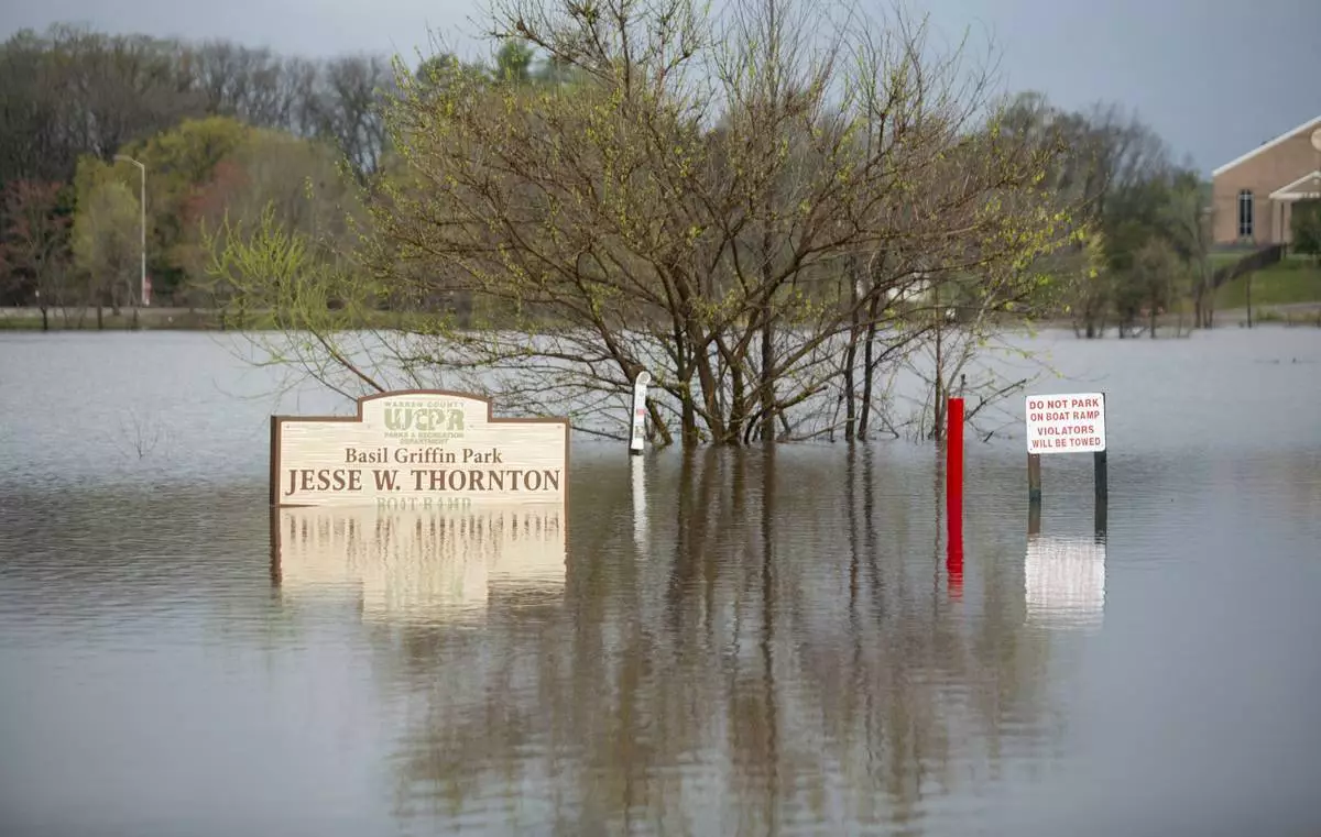
Signs at Basil Griffin Park in Bowling Green, Ky., stand in flooded waters on Friday, April 4, 2025, after excessive rainfall Thursday into Friday drenched southcentral Kentucky with more than four and a half inches of rain. (Grace McDowell /Daily News via AP)

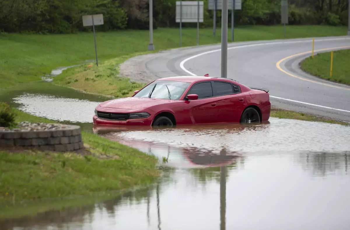
A stranded car sits in a flooded ditch on the off-ramp of I-165 to Russellville Road in Bowling Green, Ky., on Friday, April 4, 2025, after excessive rainfall Thursday into Friday drenched southcentral Kentucky with more than four and a half inches of rain. (Grace McDowell /Daily News via AP)

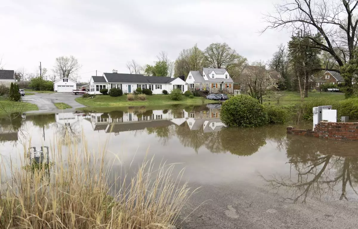
Flood waters cover the driveways of a set of homes on the corner of Sumpter Avenue and Normal Street in Bowling Green, Ky., on Friday, April 4, 2025, after excessive rainfall Thursday into Friday drenched southcentral Kentucky with more than four and a half inches of rain. (Grace McDowell /Daily News via AP)

Floodwaters rise in downtown Hopkinsville, Ky., Friday, April 4, 2025. (AP Photo/George Walker IV)

Floodwaters rise in downtown Hopkinsville, Ky., Friday, April 4, 2025. (AP Photo/George Walker IV)

Josh Brashears walks though a flooded street in Hopkinsville, Ky., Friday, April 4, 2025. (AP Photo/George Walker IV)

Brandon Sanderson, left, Josh Brashears set up sandbags after flooding in Hopkinsville, Ky., Friday, April 4, 2025. (AP Photo/George Walker IV)

Cars sit in a flooded street in Hopkinsville, Ky., Friday, April 4, 2025. (AP Photo/George Walker IV)

The streets are flooded in Hopkinsville, Ky., Friday, April 4, 2025. (AP Photo/George Walker IV)

Tony Kirves prepares for flooding inside this photography studio in Hopkinsville, Ky., Friday, April 4, 2025. (AP Photo/George Walker IV)

Tony Kirves prepares for flooding inside this photography studio in Hopkinsville, Ky., Friday, April 4, 2025. (AP Photo/George Walker IV)

Tony Kirves prepares for flooding inside this photography studio in Hopkinsville, Ky., Friday, April 4, 2025. (AP Photo/George Walker IV)

A person rides a bike in a flooded street in Hopkinsville, Ky., Friday, April 4, 2025. (AP Photo/George Walker IV)

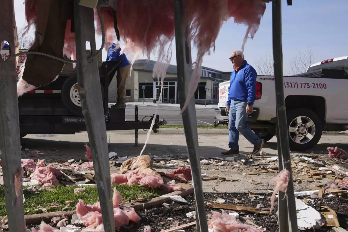
People clean up a damaged warehouse after severe weather passed the area in Carmel, Ind., Thursday, April 3, 2025. (AP Photo/Michael Conroy)

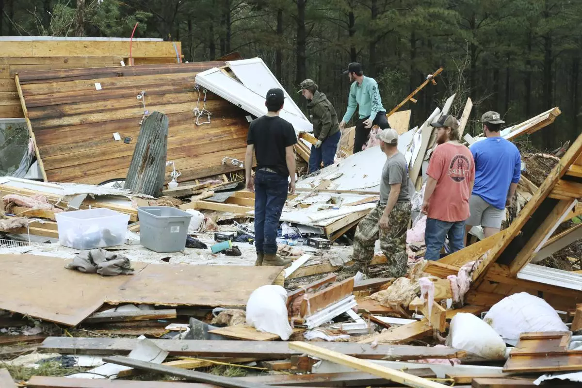
Family and friends begin picking up whats left of a house that was ripped off it's foundation and thrown over 75 feet away along Tippah County Rd. 122 in the Three Forks Community near Walnut Miss., Thursday, April 3, 2025. (Thomas Wells /The Northeast Mississippi Daily Journal via AP)

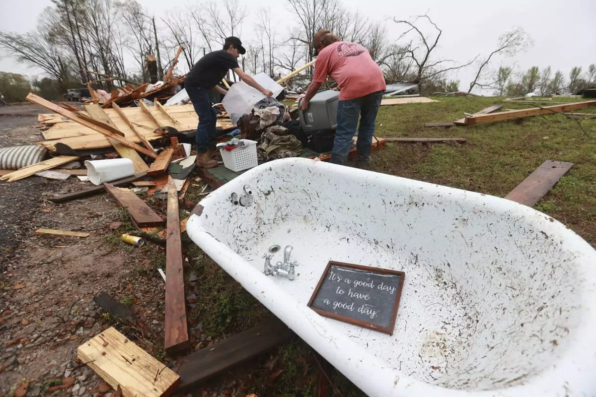
A piece of home decor rests inside a claw foot bathtub that was thrown from it's house along Tippah County Rd. 122 in the Three Forks Community near Walnut Miss., Thursday, April 3, 2025. (Thomas Wells /The Northeast Mississippi Daily Journal via AP)

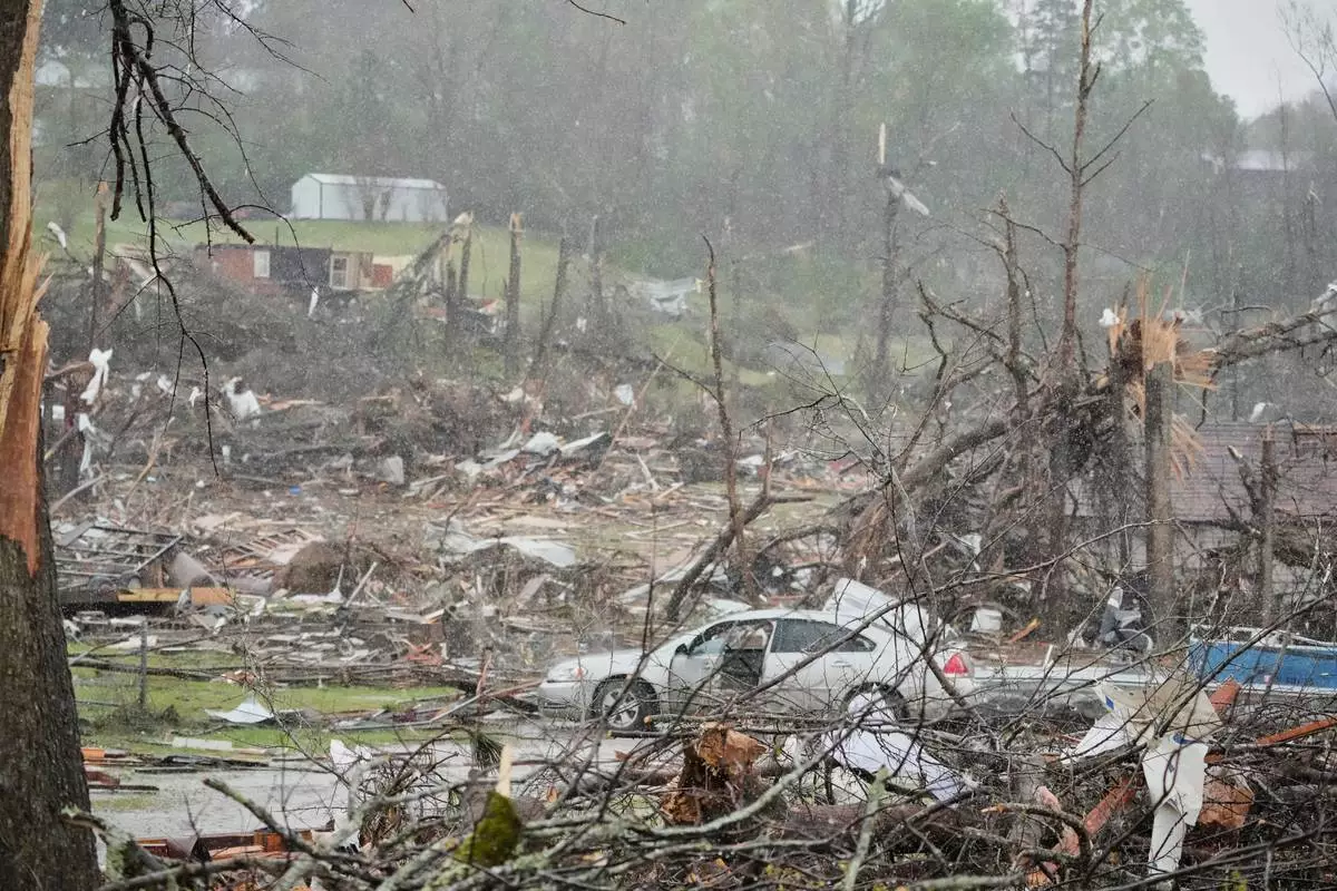
People look over the debris around a home at Lake City, Ark., on Thursday, April 3, 2025. (AP Photo/Adrian Sainz)

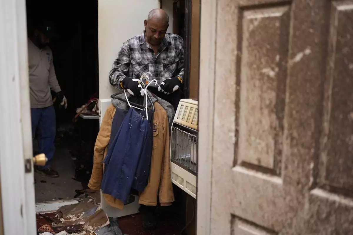
Willy Barns gathers cloths at his house after severe weather passed the area in Selmer, Tenn., Thursday, April 3, 2025. (AP Photo/George Walker IV)

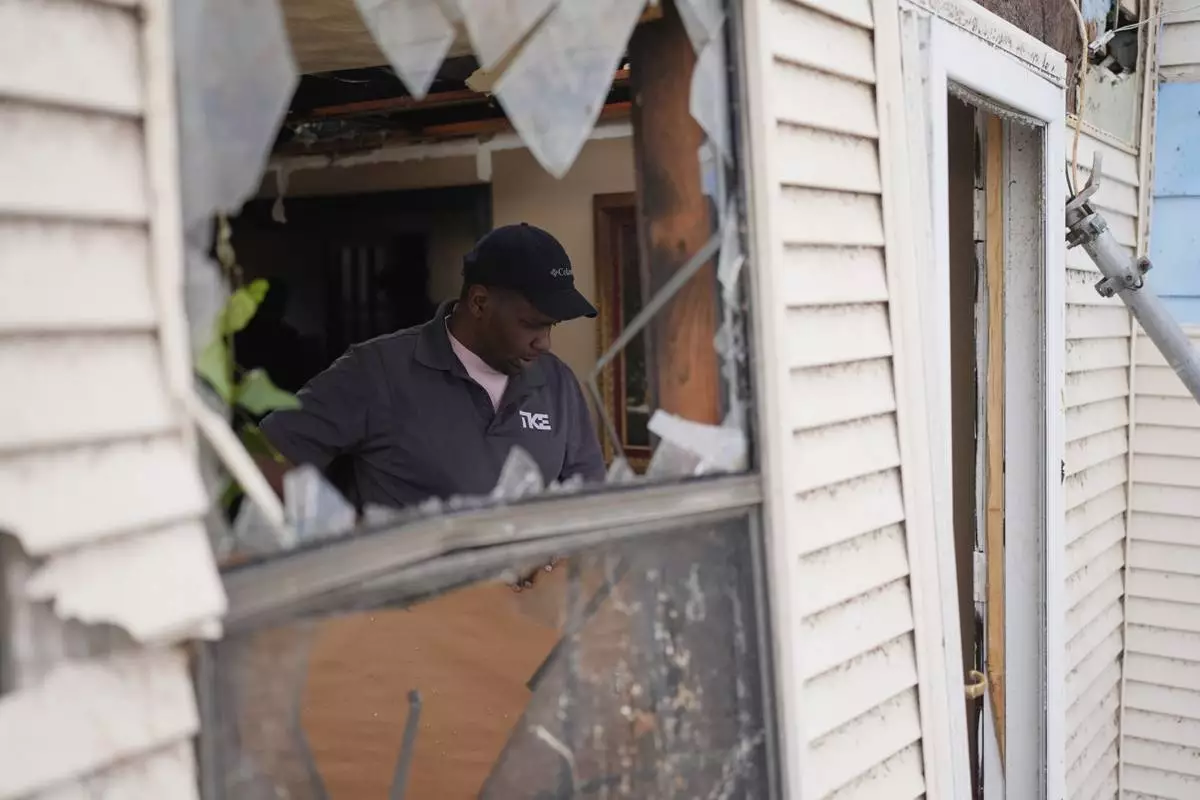
Jamar Atkins helps to clean up a house after severe weather passed through Selmer, Tenn., Thursday, April 3, 2025. (AP Photo/George Walker IV)

Dana Hardin, a 25-year former employee of Gordon-Hardy, which was destroyed, looks on near the debris of the KEP Electric building after a tornado passed through an industrial industrial park on Thursday, April 3, 2025, in Jeffersontown, Ky. (AP Photo/Jon Cherry)

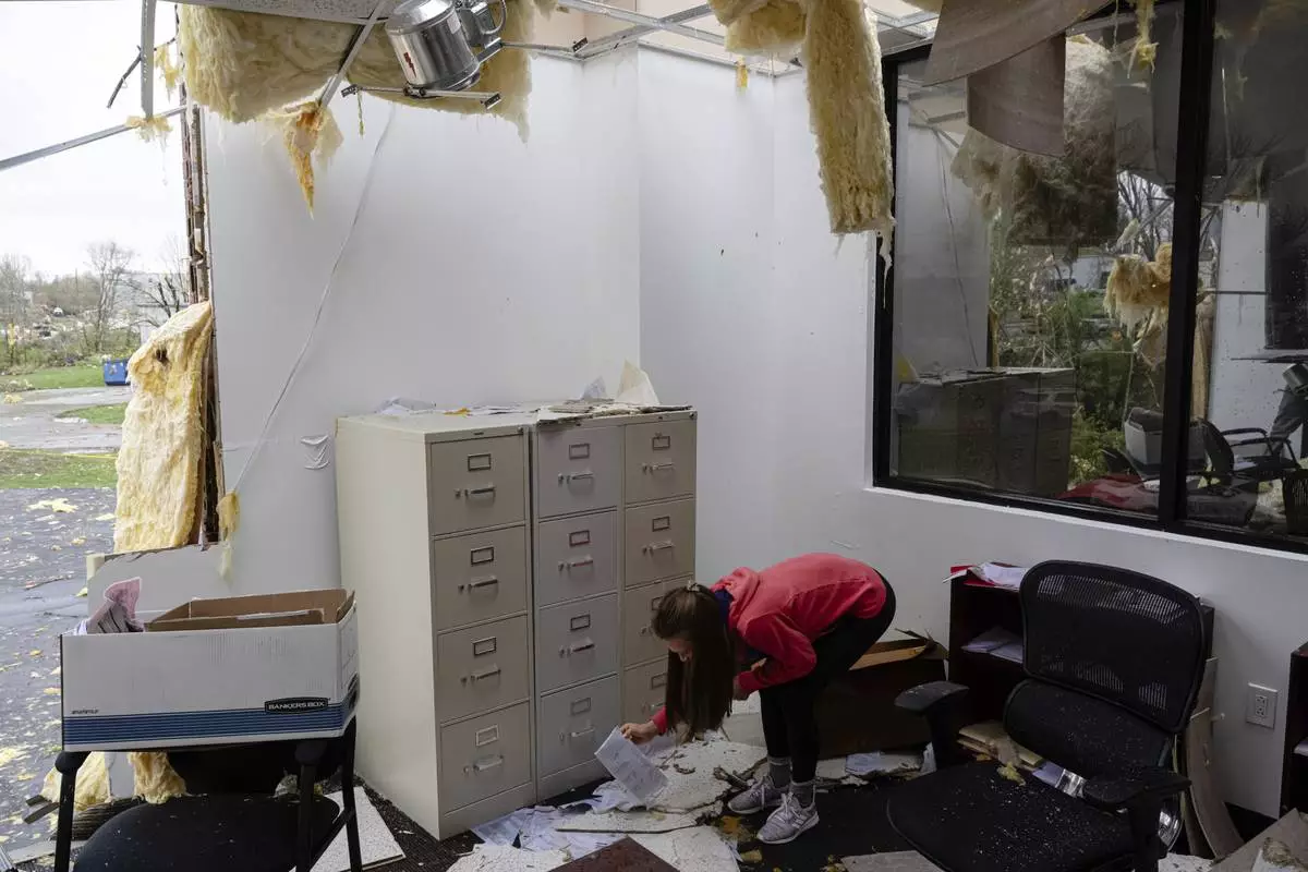
Lauren Fraser picks up paperwork in the damaged second floor offices of Specialty Distributors after a tornado passed through an industrial industrial park on Thursday, April 3, 2025, in Jeffersontown, Ky. (AP Photo/Jon Cherry)

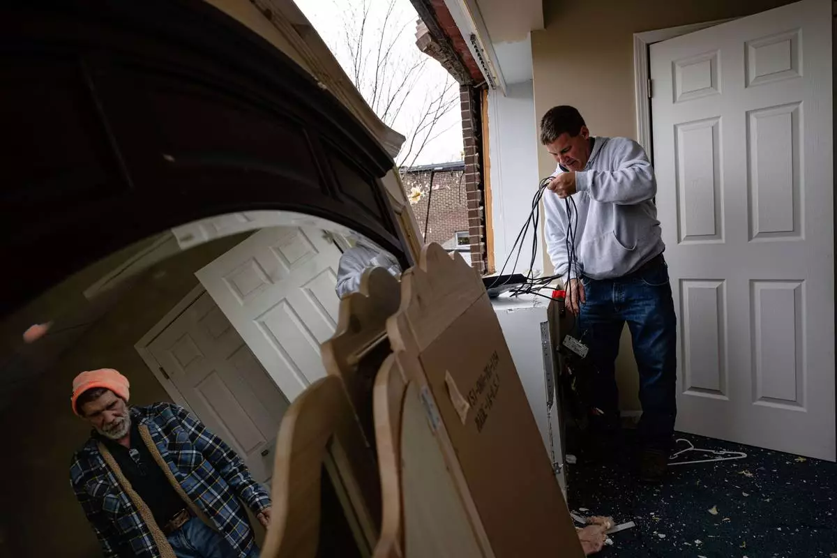
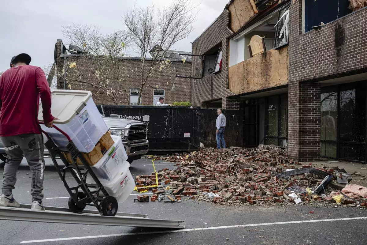
Mike Davis moves debris from a damaged business in the Triad Building, a business plaza, after severe weather passed through Thursday, April 3, 2025, in Louisville, Ky. (AP Photo/Jon Cherry)

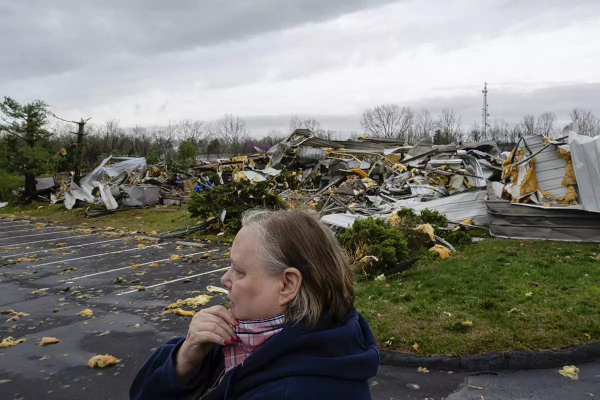
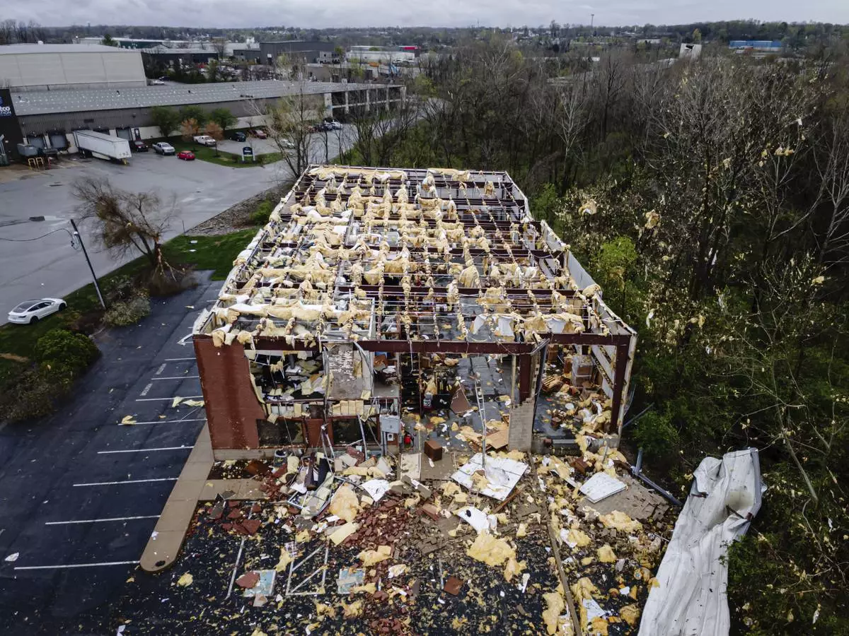
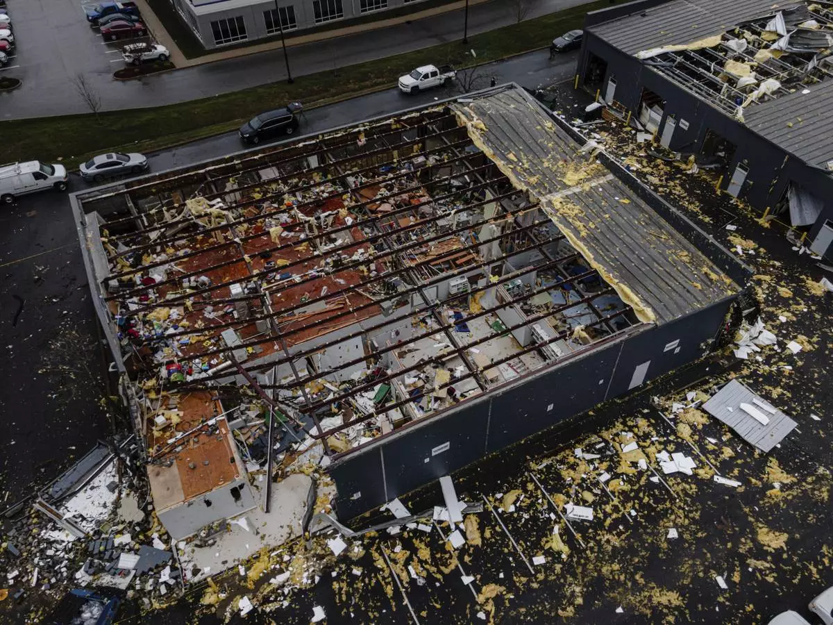
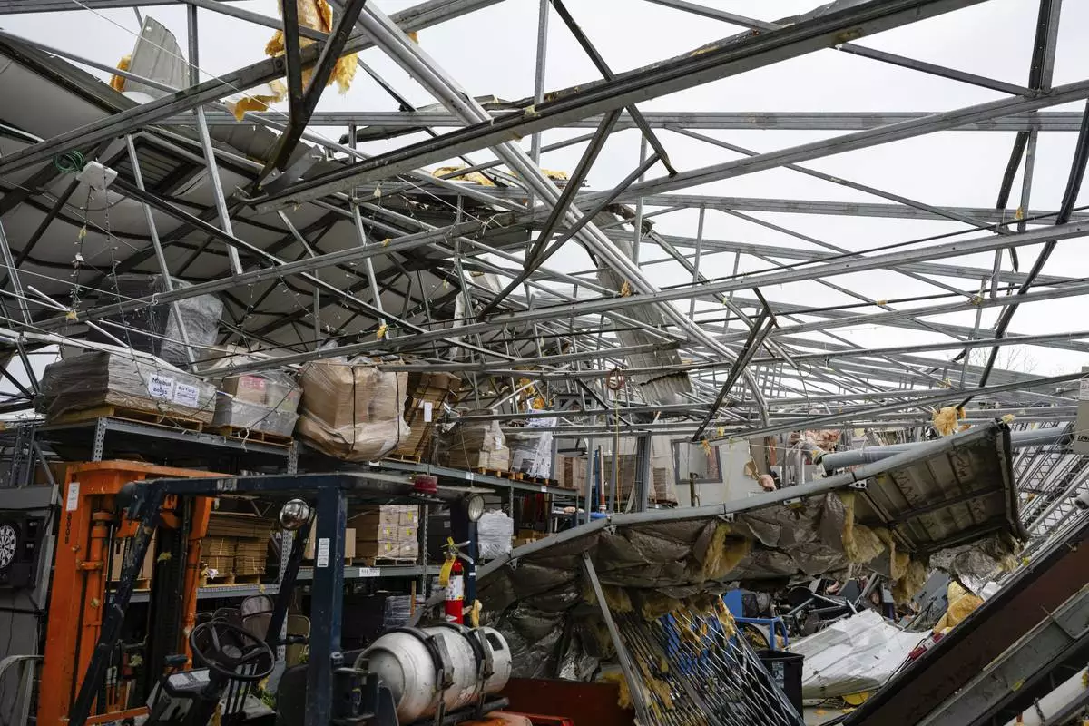
A specialty distributors building is in ruins after severe weather passed through an industrial park on Thursday, April 3, 2025, in Jeffersontown, Ky. (AP Photo/Jon Cherry)

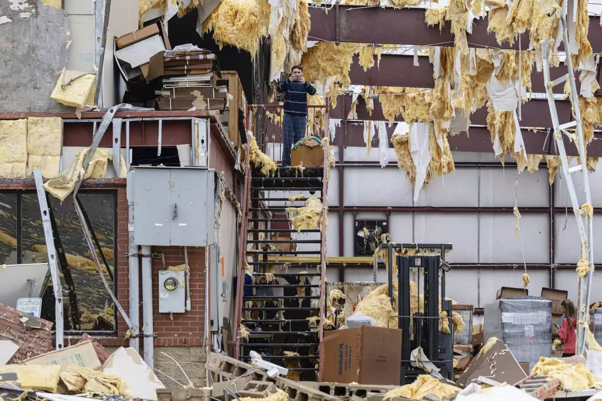
William Fraser takes photographs inside the warehouse of a damaged building of Specialty Distributors after severe weather passed through an industrial industrial park on Thursday, April 3, 2025, in Jeffersontown, Ky. (AP Photo/Jon Cherry)

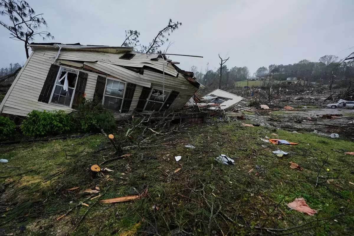
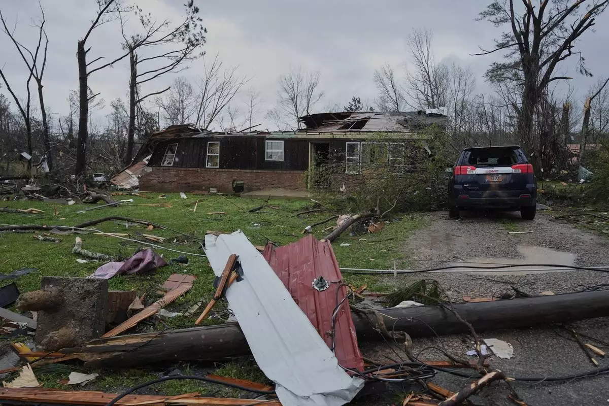
A storm damaged home is seen Thursday, April 3, 2025, in Selmer, Tenn. (AP Photo/George Walker IV)

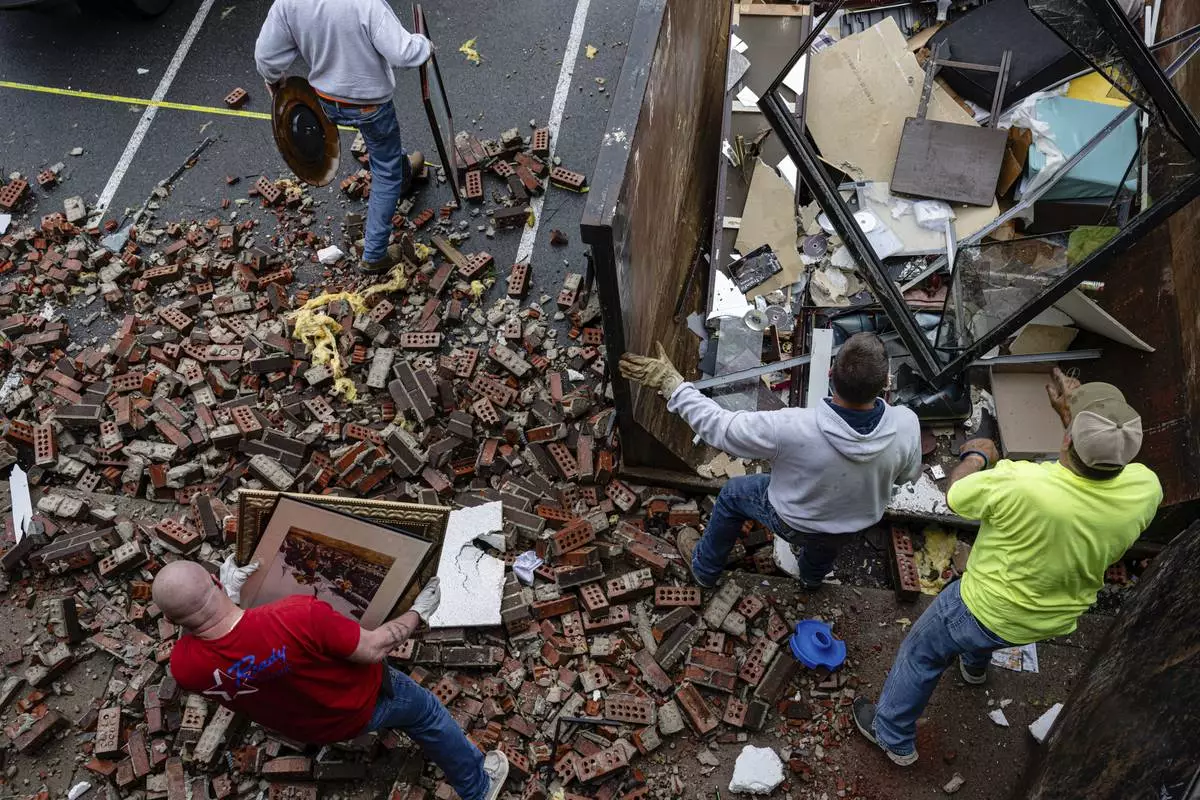
People remove items from a business damaged in the Triad Building, a business plaza, after severe weather passed through on Thursday, April 3, 2025, in Louisville, Ky. (AP Photo/Jon Cherry)

In an aerial view, damaged structures are seen at the Triad Building, a business plaza, after severe weather passed through Thursday, April 3, 2025, in Louisville, Ky. (AP Photo/Jon Cherry)

Storm damaged homes and broken trees are seen Thursday, April 3, 2025, in Selmer, Tenn. (AP Photo/George Walker IV)

Rep. David Kustoff, R-Tenn., speaks about the storm damage during news conference Thursday, April 3, 2025, in Selmer, Tenn. (AP Photo/George Walker IV)

Debris and goods are removed from damaged businesses in the Triad Building, a business plaza, after severe weather passed through Thursday, April 3, 2025, in Louisville, Ky. (AP Photo/Jon Cherry)

People remove debris from a damaged business in the Triad Building, a business plaza, after severe weather passed through on Thursday, April 3, 2025, in Louisville, Ky. (AP Photo/Jon Cherry)

A home is in ruins after severe weather passed through Lake City, Ark., on Thursday, April 3, 2025. (AP Photo/Adrian Sainz)

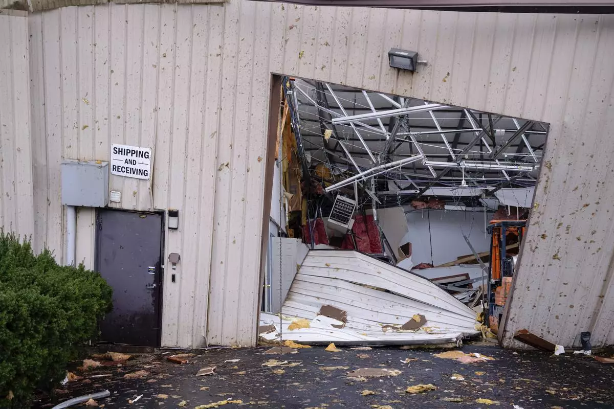
A shipping and receiving bay door is damaged along with the interior of the Gordon-Hardy building after severe weather passed through an industrial industrial park on Thursday, April 3, 2025, in Jeffersontown, Ky. (AP Photo/Jon Cherry)

In an aerial view the interior of a damaged business is seen at the Triad Building, a business plaza, after severe weather passed through on Thursday, April 3, 2025, in Louisville, Ky. (AP Photo/Jon Cherry)

Daniel Fraser carries a computer in the damaged second floor offices of Specialty Distributors after a tornado passed through an industrial industrial park on Thursday, April 3, 2025, in Jeffersontown, Ky. (AP Photo/Jon Cherry)

A storm damaged home is seen Thursday, April 3, 2025, in Selmer, Tenn. (AP Photo/George Walker IV)

Gov. Bill Lee speaks about the storm damage during a news conference Thursday, April 3, 2025, in Selmer, Tenn. (AP Photo/George Walker IV)

Storm damaged homes are seen Thursday, April 3, 2025, in Selmer, Tenn. (AP Photo/George Walker IV)

The interior of the destroyed Gordon-Hardy building after a severe weather passed through an industrial industrial park on Thursday, April 3, 2025, in Jeffersontown, Ky. (AP Photo/Jon Cherry)
