China's National Meteorological Center (NMC) on Wednesday renewed a red alert for Typhoon Gaemi, the third typhoon of this year, which has intensified into a super typhoon at 8:00 on Wednesday Beijing time.
China has a four-tier, color-coded weather warning system, with red representing the most severe warning, followed by orange, yellow and blue.
At 13:00 on Wednesday, the center of Typhoon Gaemi was located approximately 110 kilometers southeast of Yilan County in Taiwan, with the maximum wind speed of around 200 kilometers per hour near the center.
It is forecast to travel northwestward at a speed of 10 to 15 kilometers per hour, with its strength likely to increase slightly, said the NMC. The typhoon is expected to make landfall in the coastal areas between Hualien County and Keelung City in Taiwan.
After crossing the island, it is projected to make a second landfall between Thursday afternoon and night along the coast between Fujian's Fuding and Jinjiang.
The typhoon will further move northward to inland areas of China, with its intensity gradually decreasing, according to the NMC.
The China Meteorological Administration (CMA) activated the Level-II emergency response for typhoons on Wednesday.
Affected by the typhoon, gales are forecast to sweep parts of the Yellow Sea, the East China Sea including the waters near the Diaoyu Islands, the South China Sea, the Bashi Channel, the Taiwan Strait, as well as the coastal areas of Zhejiang, Fujian, Jiangsu, Shanghai and Taiwan, the Yangtze River estuary area and Hangzhou Bay from 14:00 Wednesday to 14:00 Thursday.
The wind strength near the sea surface or area passed by the center of Gaemi is expected to reach between 150 and 220 kilometers per hour, with gusts topping 200 kilometers per hour.
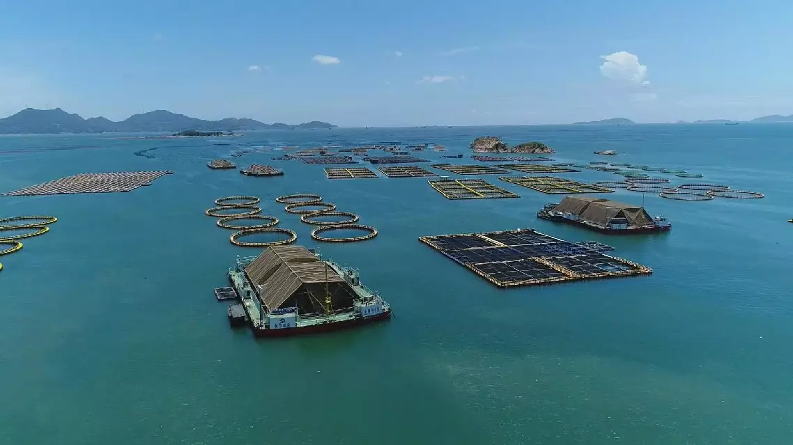
China issues highest alert for Gaemi as it strengthens into super typhoon

China issues highest alert for Gaemi as it strengthens into super typhoon


